
Súbor:Vancouver Island NASA.png
Nie je dostupné vyššie rozlíšenie.
Vancouver_Island_NASA.png (792 × 424 pixelov, veľkosť súboru: 485 KB, MIME typ: image/png)
Zhrnutie
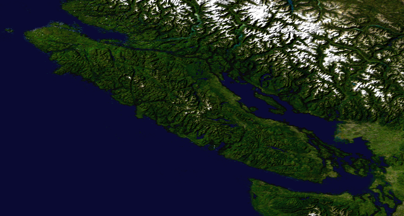
| Popis | Satellite composition of the whole Earth's surface. |
| Dátum | image released 11. Feb. 2002 |
| Zdroj |
Satellite composition of the whole Earth's surface. NASA - Visible Earth, image cropped by HighInBC |
| Autor | NASA/Goddard Space Flight Center |
| Povolenie (Využívanie tohto súboru) |
Copyright information from http://visibleearth.nasa.gov/useterms.php - With the exception of images produced by the SeaWiFS, QuickBird, and IKONOS instruments all images on the Visible Earth are governed by NASA's Terms of Use below. [...] For all non-private uses, NASA's Terms Of Use are as follows: 1. The imagery is free of licensing fees 2. NASA requires that they be provided a credit as the owners of the imagery [...] |
Licencovanie
| This file is in the public domain in the United States because it was solely created by NASA. NASA copyright policy states that "NASA material is not protected by copyright unless noted". (See Template:PD-USGov, NASA copyright policy page or JPL Image Use Policy.) | ||
 |
Warnings:
|
História súboru
Po kliknutí na dátum/čas uvidíte ako súbor vyzeral vtedy.
| Dátum/Čas | Náhľad | Rozmery | Používateľ | Komentár | |
|---|---|---|---|---|---|
| aktuálna | 14:24, 6. august 2007 | | 792 × 424 (485 KB) | Jonesy22 | {{Information |Description= Satellite composition of the whole Earth's surface. |Source= Satellite composition of the whole Earth's surface. |Source = NASA - Visible Earth, image cropped by HighInBC * [http://visibleearth.nasa.gov/view_r |
Použitie súboru
Na tento súbor odkazuje nasledujúca stránka:
Globálne využitie súborov
Nasledovné ďalšie wiki používajú tento súbor:
- Použitie na ar.wikipedia.org
- Použitie na cs.wikipedia.org