
Súbor:Bahnkarte Deutschland 1849.jpg
Veľkosť tohto náhľadu: 740 × 600 pixelov. Iné rozlíšenia: 296 × 240 pixelov | 592 × 480 pixelov | 948 × 768 pixelov | 1 263 × 1 024 pixelov | 2 527 × 2 048 pixelov | 4 646 × 3 766 pixelov .
Pôvodný súbor (4 646 × 3 766 pixelov, veľkosť súboru: 17,31 MB, MIME typ: image/jpeg)
| Popis |
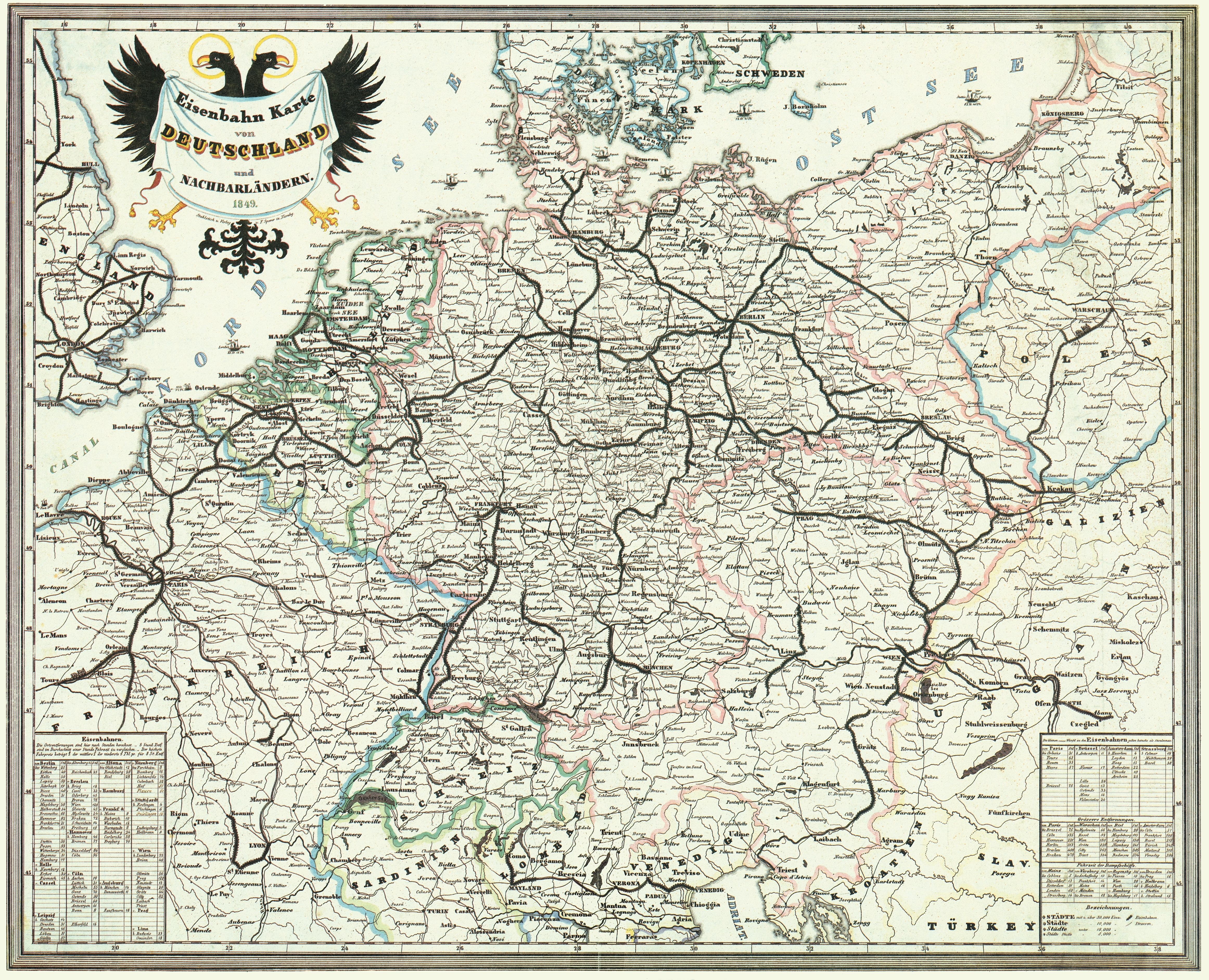
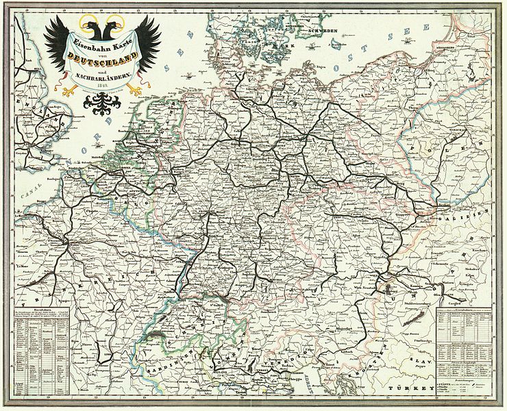
Deutsch: Bahnkarte von Deutschland und Nachbarländern 1849. Dünne Linien sind Straßen. |
| Dátum | |
| Zdroj | Karten- und Luftbildstelle der DB Mainz |
| Autor | F. Sporer, Nürnberg |
| Ďalšie verzie |


|
Toto dílo je volné také v zemích, jejichž právní řád chrání majetková autorská práva po dobu života autora a 100 let po jeho smrti. | |
| Tento súbor bol identifikovaný, že nemá žiadne známe obmedzenia vyplývajúce z autorského zákona vrátane všetkých súvisiacich a susedných práv. | |
História súboru
Po kliknutí na dátum/čas uvidíte ako súbor vyzeral vtedy.
| Dátum/Čas | Náhľad | Rozmery | Používateľ | Komentár | |
|---|---|---|---|---|---|
| aktuálna | 14:42, 17. november 2008 | | 4 646 × 3 766 (17,31 MB) | Jom | {{Information |Description=Bahnkarte_Deutschland_1849 |Source=Karten- und Luftbildstelle der DB Mainz |Date=1849 |Author=unknown |Permission= |other_versions= }} {{PD-old-100}} Category:Maps of the history of Germany [[Category:Public transport maps o |
Použitie súboru
Na tento súbor odkazujú nasledujúce 2 stránky:
Globálne využitie súborov
Nasledovné ďalšie wiki používajú tento súbor:
- Použitie na cs.wikipedia.org
- Použitie na de.wikipedia.org
- 1849
- Geschichte der Eisenbahn
- Geschichte der Eisenbahn in Deutschland
- Portal:Bahn/Mitmachen/Literatur
- Stargard-Posener Eisenbahn
- Wilhelmsbahn
- K.k. Östliche Staatsbahn
- Krakau-Oberschlesische Eisenbahn
- Stammstrecke der Köln-Mindener Eisenbahn-Gesellschaft
- Benutzer:Jom/Maps
- Warschau-Wiener Eisenbahn
- Oberschlesische Eisenbahn
- Diskussion:Bahnstrecke Kędzierzyn-Koźle–Opole
- Použitie na en.wikipedia.org
- Použitie na fr.wikipedia.org
- Použitie na hu.wikipedia.org
- Použitie na it.wikipedia.org
- Použitie na ja.wikipedia.org
- Použitie na nl.wikipedia.org
- Použitie na pl.wikipedia.org
- Použitie na zh.wikipedia.org