
Súbor:Map of USA States with names white.svg

Veľkosť tohoto PNG náhľadu tohoto SVG súboru: 512 × 322 pixelov. Iné rozlíšenia: 320 × 201 pixelov | 640 × 403 pixelov | 1 024 × 644 pixelov | 1 280 × 805 pixelov | 2 560 × 1 610 pixelov .
Pôvodný súbor (SVG súbor, 512 × 322 pixelov, veľkosť súboru: 202 KB)
Zhrnutie
| Popis |
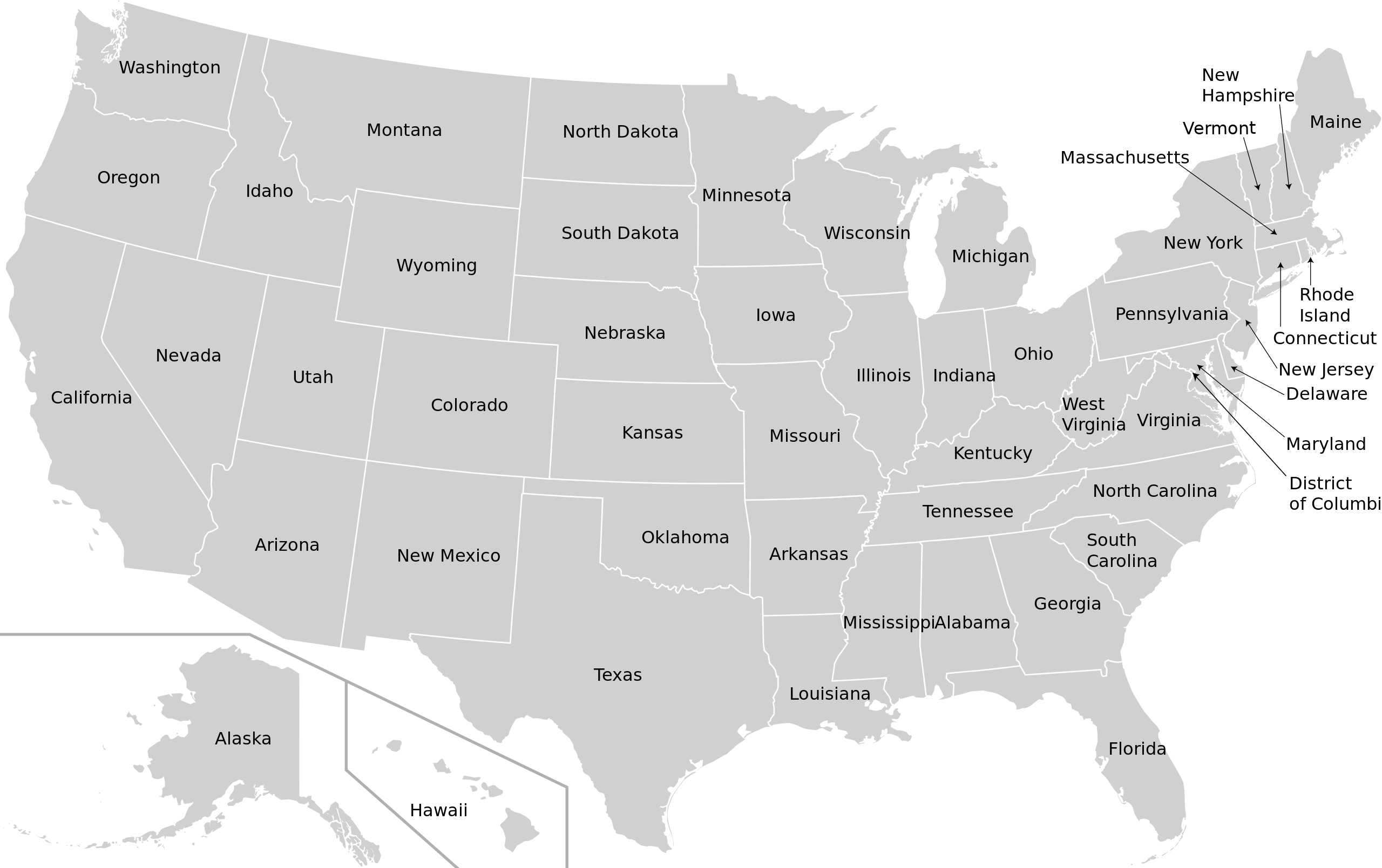
English: Map Of USA With Names Of States |
| Dátum | |
| Zdroj | w:en:Wikipedia talk:Images for upload/svg/USA-states-blank-XMLcomments-SVGnameIDs-CSSfillCLASSes.svg |
| Autor | Gigillo83, original of 70.29.208.129 |
| Povolenie (Využívanie tohto súboru) |
Wikipedia talk:Images for upload/svg/USA-states-blank-XMLcomments-SVGnameIDs-CSSfillCLASSes.svg |
Licencovanie
Ja, držiteľ autorských práv k tomuto dielu ho týmto zverejňujem za podmienok nasledovných licencií:

|
Bolo udelené povolenie kopírovať, širiť a/alebo meniť tento dokument za podmienok GNU Free Documentation License, verzie 1.2 alebo ktorejkoľvek neskoršej verzie publikovanej Free Software Foundation; bez Nemenných častí, bez Textov na prednej obálke a bez Textov na zadnej obálke. Kópia tejto licencie je zahrnutá v časti nazvanej GNU Free Documentation License. |
This file is licensed under the Creative Commons Attribution-Share Alike 4.0 International, 3.0 Unported, 2.5 Generic, 2.0 Generic and 1.0 Generic license.
- Môžete slobodne:
- zdieľať – kopírovať, šíriť a prenášať dielo
- meniť ho – upravovať dielo
- Za nasledovných podmienok:
- uvedenie autorov – Musíte spomenúť autorov (jednotlivo alebo kolektívne), poskytnúť odkaz na licenciu a uviesť, či ste niečo zmenili. Môžete to urobiť ľubovoľným primeraným spôsobom, ale nie spôsobom naznačujúcim, že poskytovateľ licencie podporuje vás alebo vaše použitie diela.
- meniť za rovnakých podmienok – Ak toto dielo zmeníte, prevediete do inej formy alebo použijete ako základ iného diela, musíte výsledok šíriť pod rovnakou alebo kompatibilnou licenciou ako originál.
Môžete si zvoliť ľubovolnú z týchto licencií.
História súboru
Po kliknutí na dátum/čas uvidíte ako súbor vyzeral vtedy.
| Dátum/Čas | Náhľad | Rozmery | Používateľ | Komentár | |
|---|---|---|---|---|---|
| aktuálna | 03:37, 14. apríl 2022 | | 512 × 322 (202 KB) | Szmenderowiecki | Changes in render (better map based on File:Blank_US_Map_(states_only)_2.svg |
| 16:50, 14. september 2018 |  | 981 × 589 (478 KB) | Kbh3rd | Changed id for path of Missouri from "path57" to "Missouri" in the same manner as all the other states. No change to rendering. | |
| 12:12, 6. august 2010 |  | 981 × 589 (478 KB) | Gigillo83 | Adjusting arrows | |
| 17:57, 5. august 2010 |  | 981 × 589 (494 KB) | Gigillo83 | Category:SVG maps of the United States == {{int:filedesc}} == {{Information |Description={{en| map of USA with names of States }} |Source=w:en:Wikipedia talk:Images for upload/svg/USA-states-blank-XMLcomments-SVGnameIDs-CSSfillCLASSes.svg |Autho |
_2.svg)
Použitie súboru
Na tento súbor odkazuje nasledujúca stránka:
Globálne využitie súborov
Nasledovné ďalšie wiki používajú tento súbor:
- Použitie na ar.wikipedia.org
- Použitie na azb.wikipedia.org
- Použitie na az.wikipedia.org
- Použitie na ban.wikipedia.org
- Použitie na ckb.wikipedia.org
- Použitie na el.wikipedia.org
- Použitie na eml.wikipedia.org
- Použitie na en.wikipedia.org
- Použitie na fur.wikipedia.org
- Použitie na hif.wikipedia.org
- Použitie na hi.wikipedia.org
- Použitie na id.wikipedia.org
- Použitie na ilo.wikipedia.org
- Použitie na it.wikipedia.org
- Použitie na ja.wikipedia.org
- Použitie na ja.wikivoyage.org
Zobraziť ďalšie globálne použitie tohto súboru.