
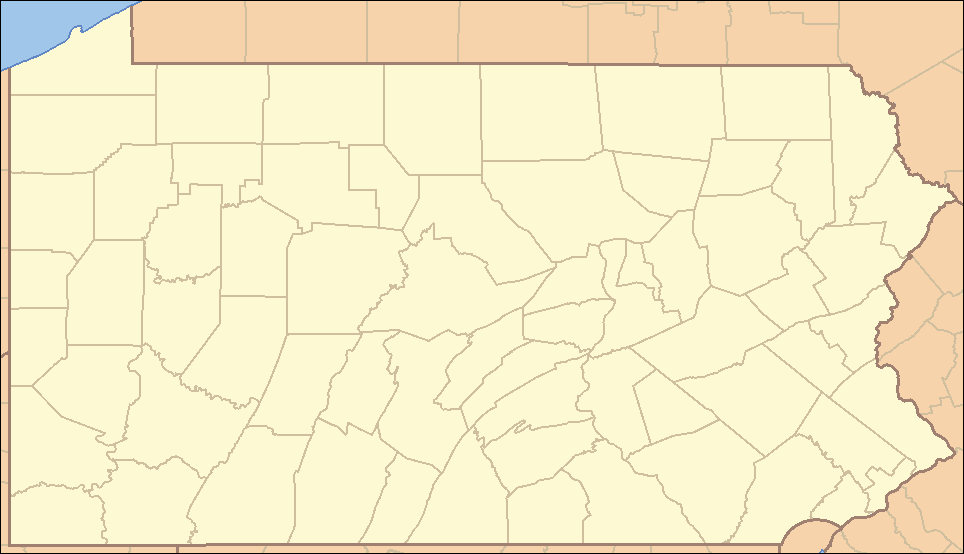
Súbor:Pennsylvania Locator Map.PNG
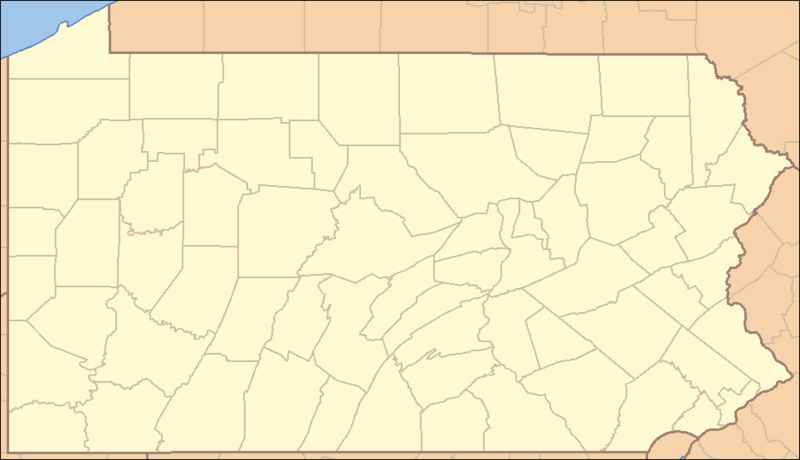
Veľkosť tohto náhľadu: 800 × 460 pixelov. Iné rozlíšenia: 320 × 184 pixelov | 640 × 368 pixelov | 964 × 554 pixelov .
Pôvodný súbor (964 × 554 pixelov, veľkosť súboru: 13 KB, MIME typ: image/png)
Zhrnutie
| Popis | Locator Map of Pennsylvania, United States |
| Dátum | |
| Zdroj | taken from US Census website [1] and modified by User:Ruhrfisch |
| Autor | US Census, Ruhrfisch |
| Povolenie (Využívanie tohto súboru) |
US Census / US Government work is public domain, myations licensed under the GNU Free Documentation License |
| Ďalšie verzie |
Derivative works of this file: Location Caln Township.png four (with slightly different color schemes or smaller size), a vector version is at Image:Pennsylvania Locator Map.svg |
Licencovanie
I, Ruhrfisch, držiteľ autorských práv k tomuto dielu ho týmto zverejňuje za podmienok nasledovných licencií:

|
Bolo udelené povolenie kopírovať, širiť a/alebo meniť tento dokument za podmienok GNU Free Documentation License, verzie 1.2 alebo ktorejkoľvek neskoršej verzie publikovanej Free Software Foundation; bez Nemenných častí, bez Textov na prednej obálke a bez Textov na zadnej obálke. Kópia tejto licencie je zahrnutá v časti nazvanej GNU Free Documentation License. |
| Tento súbor podlieha licencii Creative Commons Attribution-Share Alike 3.0 Unported | ||
| Uvedenie autora: I, Ruhrfisch | ||
| ||
| Táto šablóna licencie bola pridaná k tomuto súboru počas aktualizácie licencovania GFDL. |
Tento súbor podlieha licencii Creative Commons Attribution-Share Alike 2.5 Generic
Uvedenie autora: I, Ruhrfisch
- Môžete slobodne:
- zdieľať – kopírovať, šíriť a prenášať dielo
- meniť ho – upravovať dielo
- Za nasledovných podmienok:
- uvedenie autorov – Musíte spomenúť autorov (jednotlivo alebo kolektívne), poskytnúť odkaz na licenciu a uviesť, či ste niečo zmenili. Môžete to urobiť ľubovoľným primeraným spôsobom, ale nie spôsobom naznačujúcim, že poskytovateľ licencie podporuje vás alebo vaše použitie diela.
- meniť za rovnakých podmienok – Ak toto dielo zmeníte, prevediete do inej formy alebo použijete ako základ iného diela, musíte výsledok šíriť pod rovnakou alebo kompatibilnou licenciou ako originál.
Môžete si zvoliť ľubovolnú z týchto licencií.
and
This image or file is a work of a United States Census Bureau employee, taken or made as part of that person's official duties. As a work of the U.S. federal government, the image is in the public domain.
|
 |
História súboru
Po kliknutí na dátum/čas uvidíte ako súbor vyzeral vtedy.
| Dátum/Čas | Náhľad | Rozmery | Používateľ | Komentár | |
|---|---|---|---|---|---|
| aktuálna | 22:35, 22. marec 2009 | | 964 × 554 (13 KB) | Mahahahaneapneap | Compressed |
| 15:47, 5. september 2007 |  | 964 × 554 (35 KB) | Ruhrfisch | Very minor fixes of a dozen or so incorrectly colored pixels in the body of the map (no border information pixels changed). All other information the same. | |
| 04:07, 25. apríl 2007 |  | 964 × 554 (35 KB) | Ruhrfisch | {{Information| |Description= Locator Map of Pennsylvania, United States |Source= taken from US Census website [http://factfinder.census.gov/] and modified by User:Ruhrfisch |Date= April 2007 |Author= US Census, Ruhrfisch |Permission= US Census / US G | |
| 01:25, 23. apríl 2007 |  | 964 × 554 (35 KB) | Ruhrfisch | {{Information| |Description= Locator Map of Pennsylvania, United States |Source= taken from US Census website [http://factfinder.census.gov/] and modified by User:Ruhrfisch |Date= APril 2007 |Author= US Census, Ruhrfisch |Permission= US Census / US G | |
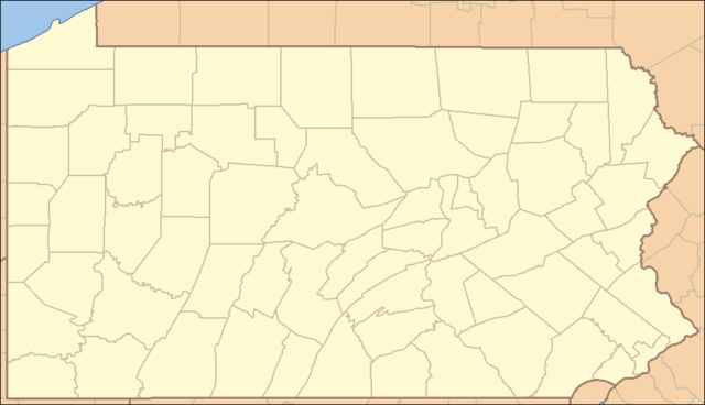
| 05:07, 9. apríl 2007 |  | 962 × 552 (35 KB) | Ruhrfisch | {{Information| |Description= Locator Map of Pennsylvania, United States |Source= taken from US Census website [http://factfinder.census.gov/] and modified by User:Ruhrfisch |Date= April 2007 |Author= US Census, Ruhrfisch |Permission= US Census / US G | |
| 04:50, 9. apríl 2007 |  | 327 × 193 (8 KB) | Ruhrfisch | {{Information| |Description= Locator Map of Pennsylvania, United States |Source= taken from US Census website [http://factfinder.census.gov/] and modified by User:Ruhrfisch |Date= April 2007 |Author= US Census, Ruhrfisch |Permission= US Census / US G | |
| 12:59, 28. júl 2006 |  | 288 × 168 (26 KB) | Ruhrfisch | {{Information| |Description= Locator Map of Pennsylvania, United States |Source= taken from US Census website [http://factfinder.census.gov/] and modified by User:Ruhrfisch |Date= July 2006 |Author= US Census, Ruhrfisch |Permission= US Census / US Go |
Použitie súboru
Na tento súbor odkazujú nasledujúce 2 stránky:
Globálne využitie súborov
Nasledovné ďalšie wiki používajú tento súbor:
- Použitie na ceb.wikipedia.org
- Použitie na de.wikipedia.org
- Použitie na en.wikipedia.org
- List of Pennsylvania state parks
- User talk:Decumanus
- User talk:Bcasterline
- User:Ruhrfisch/Sandbox
- User talk:Choess/Archive4
- User talk:Tompw/archive2
- Template:State parks of Pennsylvania map
- User:Ruhrfisch/Pages
- User talk:Ruhrfisch/Archive4
- User talk:Qjuad/Archive 1
- User:IvoShandor/Recognitions
- User talk:VerruckteDan/Archive3
- User talk:Michaelas10/Archive/Archive 04
- User:Gerry D/archive2
- User talk:AceYYC/Archive2
- User talk:IvoShandor/Archive Apr 2007
- User talk:Underneath-it-All/Archive05
- User:Gerry D/archive3
- User talk:VerruckteDan/Archive4
- User:Ruhrfisch
- User talk:AndyZ/Archive 7
- User talk:Zntrip/Archive 1
- User:Sebwite/posmap
- User talk:Nationalparks/Archive 2
- Použitie na es.wikipedia.org
- Použitie na fa.wikipedia.org
- کربندیل، پنسیلوانیا
- چستر، پنسیلوانیا
- کوتسویل، پنسیلوانیا
- کونلسویل، پنسیلوانیا
- کاری، پنسیلوانیا
- ایری، پنسیلوانیا
- فارل، پنسیلوانیا
- هرمیتاژ، پنسیلوانیا
- مککیسپورت، پنسیلوانیا
- مادویل، پنسیلوانیا
- مانسن، پنسیلوانیا
- مونانگاهلا، پنسیلوانیا
- نیوکاسل، پنسیلوانیا
- شارون، پنسیلوانیا
- تیتوسویل، پنسیلوانیا
- انیونتاوون، پنسیلوانیا
- وارن، پنسیلوانیا
- واشینگتن، پنسیلوانیا
- الگو:Geobox locator Pennsylvania
- ناقوس آزادی
- چستربروک، پنسیلوانیا
Zobraziť ďalšie globálne použitie tohto súboru.