
Súbor:Côte d'Ivoire location map.svg

Veľkosť tohoto PNG náhľadu tohoto SVG súboru: 512 × 512 pixelov. Iné rozlíšenia: 240 × 240 pixelov | 480 × 480 pixelov | 768 × 768 pixelov | 1 024 × 1 024 pixelov | 2 048 × 2 048 pixelov .
Pôvodný súbor (SVG súbor, 512 × 512 pixelov, veľkosť súboru: 97 KB)
Zhrnutie
| Popis |
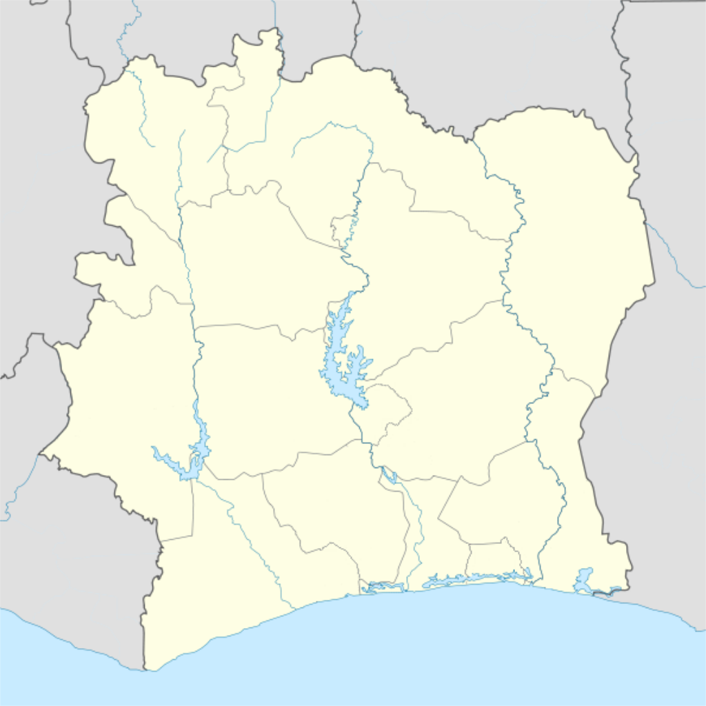
Deutsch: Location map of Côte d'Ivoire Equirectangular projection.
Strechted by 101%. Geographic limits of the map:
|
| Dátum | |
| Zdroj |
Na Commons přenesl z de.wikipedia uživatel Uwe Dedering. |
| Autor | Uwe Dedering |
| Ďalšie verzie |
Díla odvozená od tohoto souboru: |
Licencovanie
Uwe Dedering v projekte Wikipédia (nemčina), držiteľ autorských práv k tomuto dielu ho týmto zverejňuje za podmienok nasledovných licencií:

|
Bolo udelené povolenie kopírovať, širiť a/alebo meniť tento dokument za podmienok GNU Free Documentation License, verzie 1.2 alebo ktorejkoľvek neskoršej verzie publikovanej Free Software Foundation; bez Nemenných častí, bez Textov na prednej obálke a bez Textov na zadnej obálke. Kópia tejto licencie je zahrnutá v časti nazvanej GNU Free Documentation License. |
Tento súbor podlieha licencii Creative Commons Attribution-Share Alike 3.0 Unported
Uvedenie autora: Uwe Dedering v projekte Wikipédia (nemčina)
- Môžete slobodne:
- zdieľať – kopírovať, šíriť a prenášať dielo
- meniť ho – upravovať dielo
- Za nasledovných podmienok:
- uvedenie autorov – Musíte spomenúť autorov (jednotlivo alebo kolektívne), poskytnúť odkaz na licenciu a uviesť, či ste niečo zmenili. Môžete to urobiť ľubovoľným primeraným spôsobom, ale nie spôsobom naznačujúcim, že poskytovateľ licencie podporuje vás alebo vaše použitie diela.
- meniť za rovnakých podmienok – Ak toto dielo zmeníte, prevediete do inej formy alebo použijete ako základ iného diela, musíte výsledok šíriť pod rovnakou alebo kompatibilnou licenciou ako originál.
Tento súbor je licencovaný za podmienok Creative Commons Attribution-Share Alike 3.0 Germany.
Uvedenie autora: Uwe Dedering v projekte Wikipédia (nemčina)
- Môžete slobodne:
- zdieľať – kopírovať, šíriť a prenášať dielo
- meniť ho – upravovať dielo
- Za nasledovných podmienok:
- uvedenie autorov – Musíte spomenúť autorov (jednotlivo alebo kolektívne), poskytnúť odkaz na licenciu a uviesť, či ste niečo zmenili. Môžete to urobiť ľubovoľným primeraným spôsobom, ale nie spôsobom naznačujúcim, že poskytovateľ licencie podporuje vás alebo vaše použitie diela.
- meniť za rovnakých podmienok – Ak toto dielo zmeníte, prevediete do inej formy alebo použijete ako základ iného diela, musíte výsledok šíriť pod rovnakou alebo kompatibilnou licenciou ako originál.

Môžete si zvoliť ľubovolnú z týchto licencií.
| Poznámky | K tomuto souboru existují poznámky: Prohlédnout si poznámky na Commons |
História súboru
Po kliknutí na dátum/čas uvidíte ako súbor vyzeral vtedy.
| Dátum/Čas | Náhľad | Rozmery | Používateľ | Komentár | |
|---|---|---|---|---|---|
| aktuálna | 00:14, 4. december 2015 | | 512 × 512 (97 KB) | Good Olfactory | intra-country boundaries changed to reflect 2011 administrative subdivision changes (boundaries represent districts, the new first-level administrative subdivision) |
| 21:42, 16. február 2010 |  | 1 400 × 1 414 (423 KB) | Uwe Dedering | ({{Information |Beschreibung = Location map of Côte d'Ivoire Equirectangular projection. Strechted by 101%. Geographic limits of the map: * N: 11° N * S: 4° N * W: 9° W * E: 2° W Made with Natural Earth. Free vector and raster map data @ naturalearth |
Použitie súboru
Na tento súbor odkazuje nasledujúcich 5 stránok:
Globálne využitie súborov
Nasledovné ďalšie wiki používajú tento súbor:
- Použitie na als.wikipedia.org
- Použitie na am.wikipedia.org
- Použitie na ar.wikipedia.org
- Použitie na az.wikipedia.org
- Použitie na ba.wikipedia.org
- Použitie na be-tarask.wikipedia.org
- Použitie na be.wikipedia.org
- Použitie na bg.wikipedia.org
- Použitie na bn.wikipedia.org
- Použitie na bs.wikipedia.org
- Použitie na ce.wikipedia.org
- Použitie na ckb.wikipedia.org
- Použitie na cs.wikipedia.org
- Použitie na da.wikipedia.org
- Použitie na de.wikipedia.org
- Použitie na de.wikivoyage.org
- Použitie na eo.wikipedia.org
Zobraziť ďalšie globálne použitie tohto súboru.