
Súbor:Colombia location map.svg

Veľkosť tohoto PNG náhľadu tohoto SVG súboru: 512 × 579 pixelov. Iné rozlíšenia: 212 × 240 pixelov | 424 × 480 pixelov | 679 × 768 pixelov | 905 × 1 024 pixelov | 1 811 × 2 048 pixelov .
Pôvodný súbor (SVG súbor, 512 × 579 pixelov, veľkosť súboru: 1,07 MB)
Zhrnutie
| Popis |
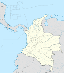
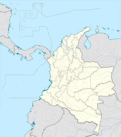
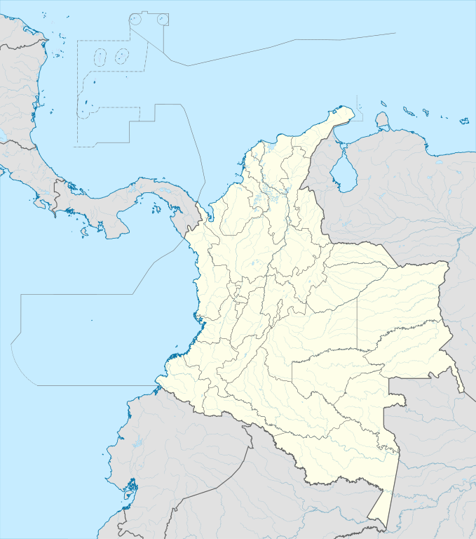
English: Location map of Colombia
Equirectangular projection. Geographic limits of the map:
|
| Dátum | |
| Zdroj | Vlastné dielo (Původní text: „own work, using Demis data“) |
| Autor | Milenioscuro |
| Ďalšie verzie |
Díla odvozená od tohoto souboru: Bajo Nuevo Colombia location.png
|
| SVG vývoj | Táto W3C-nevalidná grafika bola vytvorená pomocou Adobe Illustrator. |


.svg)

Licencovanie
Milenioscuro, držiteľ autorských práv k tomuto dielu ho týmto zverejňuje za podmienok nasledovnej licencie:
Tento súbor podlieha licencii Creative Commons Attribution-Share Alike 3.0 Unported
Uvedenie autora: Milenioscuro
- Môžete slobodne:
- zdieľať – kopírovať, šíriť a prenášať dielo
- meniť ho – upravovať dielo
- Za nasledovných podmienok:
- uvedenie autorov – Musíte spomenúť autorov (jednotlivo alebo kolektívne), poskytnúť odkaz na licenciu a uviesť, či ste niečo zmenili. Môžete to urobiť ľubovoľným primeraným spôsobom, ale nie spôsobom naznačujúcim, že poskytovateľ licencie podporuje vás alebo vaše použitie diela.
- meniť za rovnakých podmienok – Ak toto dielo zmeníte, prevediete do inej formy alebo použijete ako základ iného diela, musíte výsledok šíriť pod rovnakou alebo kompatibilnou licenciou ako originál.
| Poznámky | K tomuto souboru existují poznámky: Prohlédnout si poznámky na Commons |


História súboru
Po kliknutí na dátum/čas uvidíte ako súbor vyzeral vtedy.
| Dátum/Čas | Náhľad | Rozmery | Používateľ | Komentár | |
|---|---|---|---|---|---|
| aktuálna | 20:17, 22. február 2022 | | 512 × 579 (1,07 MB) | Milenioscuro | standard colors |
| 11:10, 1. december 2017 |  | 2 027 × 2 294 (1,37 MB) | Milenioscuro | limits | |
| 11:00, 1. december 2017 |  | 2 027 × 2 294 (1,37 MB) | Milenioscuro | more visible limits | |
| 05:48, 28. január 2014 |  | 2 027 × 2 294 (1,39 MB) | Milenioscuro | correction of departamental, international and maritime boundaries, courses of rivers, coastline, and line thickness | |
| 17:01, 29. máj 2012 |  | 2 007 × 2 298 (1,07 MB) | Milenioscuro | correction of some departamental borders | |
| 18:58, 26. marec 2012 |  | 2 007 × 2 298 (1,08 MB) | Milenioscuro | correction of international borders, added layers, rivers, etc | |
| 08:12, 17. november 2011 |  | 2 007 × 2 298 (1,04 MB) | Milenioscuro | simplification of rivers, correction of some borders | |
| 23:48, 2. november 2009 |  | 2 007 × 2 298 (1,14 MB) | Milenioscuro | thick boundaries of departments | |
| 09:10, 1. november 2009 |  | 2 007 × 2 298 (1,15 MB) | Milenioscuro | Adjusted to match style of location maps 2008 | |
| 07:30, 26. október 2009 |  | 2 268 × 2 676 (1,4 MB) | Milenioscuro | maritime boundaries |
Použitie súboru
Na tento súbor odkazujú nasledujúce 2 stránky:
Globálne využitie súborov
Nasledovné ďalšie wiki používajú tento súbor:
- Použitie na af.wikipedia.org
- Použitie na als.wikipedia.org
- Použitie na an.wikipedia.org
- Použitie na ar.wikipedia.org
- Použitie na ast.wikipedia.org
- Bogotá
- Cali
- Estadiu Doce de Octubre
- Puerto Colombia (Guainía)
- González (Cesar)
- Estadiu Deportivo Cali
- Módulu:Mapa de llocalización/datos/Colombia
- Ríu Magdalena
- Capitoliu Nacional de Colombia
- Comisión Colombiana del Espaciu
- Nevado del Ruiz
- Módulu:Mapa de llocalización/datos/Colombia/usu
- Barranquilla
- Cartagena de Indias
- Estadiu Metropolitanu Roberto Meléndez
- Palenque de San Basilio
- Copa América 2001
- Sierra de Chiribiquete
- Inírida
- Aeropuertu Internacional El Dorado
- Casa d'Adoración Norte del Cauca
- Aeropuertu Guaymaral
- Aeropuertu Internacional Alfonso Bonilla Aragón
- Aeropuertu Internacional Alfredo Vásquez Cobo
- Aeropuertu Internacional Camilo Daza
- Aeropuertu Internacional El Edén
- Aeropuertu Internacional Ernesto Cortissoz
- Aeropuertu Internacional Gustavo Rojas Pinilla
- Aeropuertu Internacional José María Córdova
- Aeropuertu Internacional Matecaña
Zobraziť ďalšie globálne použitie tohto súboru.