
Súbor:Larmor-Plage et la rade de Lorient..jpg
Veľkosť tohto náhľadu: 800 × 530 pixelov. Iné rozlíšenia: 320 × 212 pixelov | 640 × 424 pixelov | 1 024 × 678 pixelov | 1 280 × 847 pixelov | 2 896 × 1 917 pixelov .
Pôvodný súbor (2 896 × 1 917 pixelov, veľkosť súboru: 2,17 MB, MIME typ: image/jpeg)
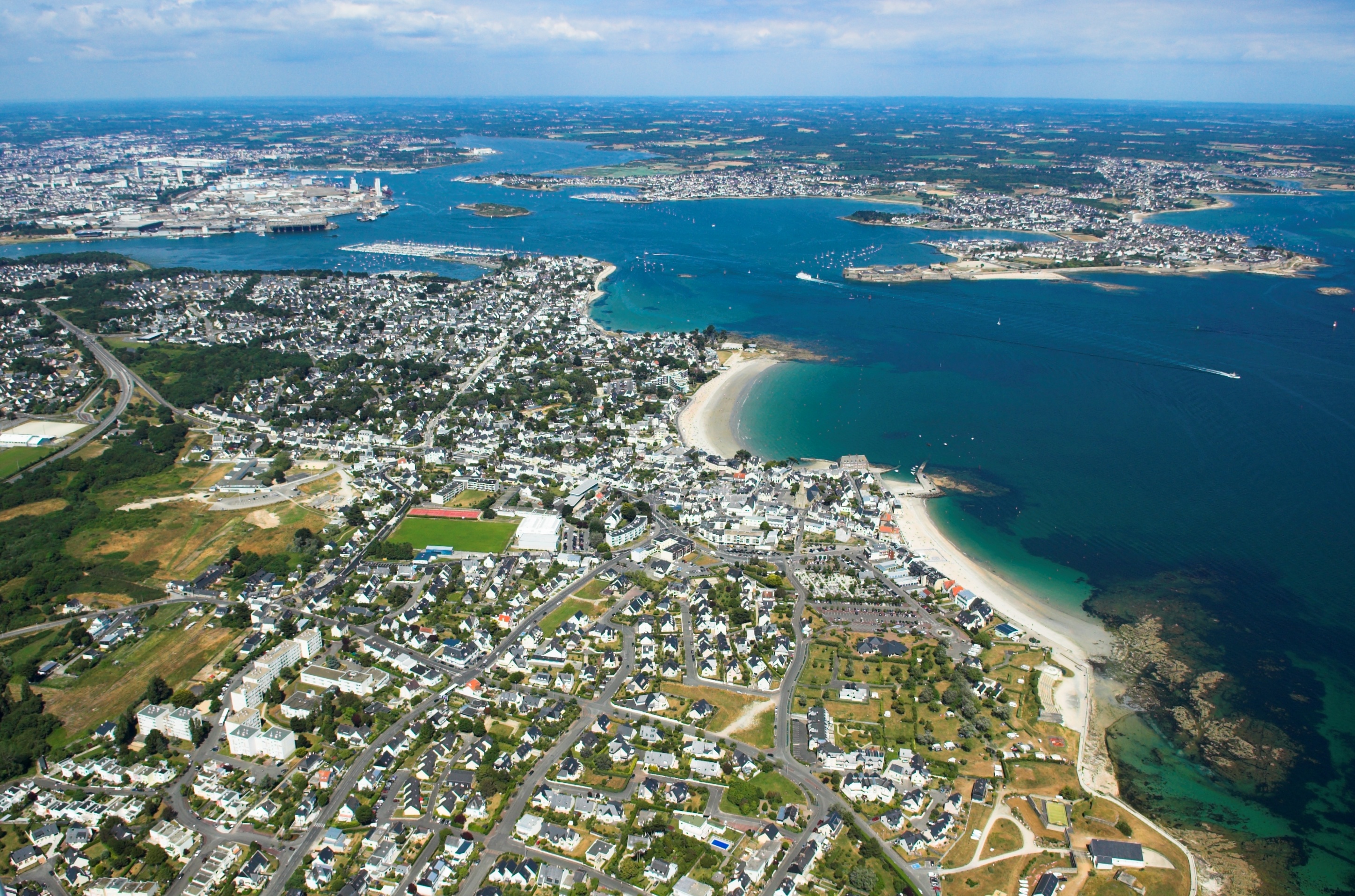
| Popis | Vue aérienne de Larmor-Plage 56260 avec la rade de Lorient | ||||||||
| Dátum | |||||||||
| Zdroj | Vlastné dielo | ||||||||
| Autor | Jack Mamelet | ||||||||
| Povolenie (Využívanie tohto súboru) |
Ja, držiteľ autorských práv k tomuto dielu ho týmto zverejňujem za podmienok nasledovných licencií:
Tento súbor je licencovaný za podmienok Creative Commons Attribution-Share Alike 2.5 Generic, 2.0 Generic a 1.0 Generic.
Môžete si zvoliť ľubovolnú z týchto licencií. |

História súboru
Po kliknutí na dátum/čas uvidíte ako súbor vyzeral vtedy.
| Dátum/Čas | Náhľad | Rozmery | Používateľ | Komentár | |
|---|---|---|---|---|---|
| aktuálna | 22:51, 6. marec 2007 | | 2 896 × 1 917 (2,17 MB) | Jackmame | {{Information |Description= Vue aérienne de Larmor-Plage 56260 avec la rade de Lorient |Source= own work |Date= 27/06/2006 |Author= Jack Mamelet |Permission= |other_versions= }} |
Použitie súboru
Na tento súbor odkazuje nasledujúca stránka:
Globálne využitie súborov
Nasledovné ďalšie wiki používajú tento súbor:
- Použitie na als.wikipedia.org
- Použitie na ca.wikipedia.org
- Použitie na ceb.wikipedia.org
- Použitie na ce.wikipedia.org
- Použitie na cy.wikipedia.org
- Použitie na de.wikipedia.org
- Použitie na en.wikipedia.org
- Použitie na eo.wikipedia.org
- Použitie na es.wikipedia.org
- Použitie na eu.wikipedia.org
- Použitie na fr.wikipedia.org
- Lorient
- Géographie de la Bretagne
- Lorient Agglomération
- Groix
- Brandérion
- Bubry
- Calan
- Caudan
- Cléguer
- Gâvres
- Gestel (Morbihan)
- Guidel
- Hennebont
- Inguiniel
- Inzinzac-Lochrist
- Riantec
- Plouay
- Pont-Scorff
- Quéven
- Lanester
- Languidic
- Lanvaudan
- Larmor-Plage
- Rade
- Locmiquélic
- Artificialisation du littoral
- Ploemeur
- Pays de Lorient
- Littoral français
- Quistinic
- Aire urbaine de Lorient
- Modèle:Palette Lorient Agglomération
- Gare de Gestel
- Rade de Lorient
- TK Bremen
Zobraziť ďalšie globálne použitie tohto súboru.