
Súbor:Nepal location map.svg

Veľkosť tohoto PNG náhľadu tohoto SVG súboru: 800 × 476 pixelov. Iné rozlíšenia: 320 × 190 pixelov | 640 × 381 pixelov | 1 024 × 609 pixelov | 1 280 × 762 pixelov | 2 560 × 1 523 pixelov | 1 200 × 714 pixelov .
Pôvodný súbor (SVG súbor, 1 200 × 714 pixelov, veľkosť súboru: 296 KB)
Zhrnutie
| Popis |
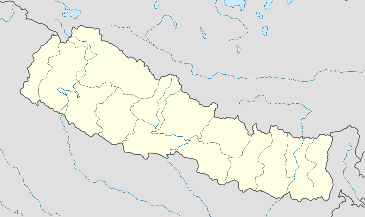
English: Location map of Nepal including the 14 administrative zones (outdated since 2015).
Equirectangular projection. Strechted by 113.0%. Geographic limits of the map: * N: 31.0° N * S: 26.0° N * W: 79.5° E * E: 89.0° EMade with Natural Earth. Free vector and raster map data @ naturalearthdata.com. |
| Dátum | |
| Zdroj | Vlastné dielo |
| Autor | Uwe Dedering |
| Ďalšie verzie |
|


Licencovanie
Ja, držiteľ autorských práv k tomuto dielu ho týmto zverejňujem za podmienok nasledovných licencií:
Tento súbor podlieha licencii Creative Commons Attribution-Share Alike 3.0 Unported
- Môžete slobodne:
- zdieľať – kopírovať, šíriť a prenášať dielo
- meniť ho – upravovať dielo
- Za nasledovných podmienok:
- uvedenie autorov – Musíte spomenúť autorov (jednotlivo alebo kolektívne), poskytnúť odkaz na licenciu a uviesť, či ste niečo zmenili. Môžete to urobiť ľubovoľným primeraným spôsobom, ale nie spôsobom naznačujúcim, že poskytovateľ licencie podporuje vás alebo vaše použitie diela.
- meniť za rovnakých podmienok – Ak toto dielo zmeníte, prevediete do inej formy alebo použijete ako základ iného diela, musíte výsledok šíriť pod rovnakou alebo kompatibilnou licenciou ako originál.

|
Bolo udelené povolenie kopírovať, širiť a/alebo meniť tento dokument za podmienok GNU Free Documentation License, verzie 1.2 alebo ktorejkoľvek neskoršej verzie publikovanej Free Software Foundation; bez Nemenných častí, bez Textov na prednej obálke a bez Textov na zadnej obálke. Kópia tejto licencie je zahrnutá v časti nazvanej GNU Free Documentation License. |
Môžete si zvoliť ľubovolnú z týchto licencií.
História súboru
Po kliknutí na dátum/čas uvidíte ako súbor vyzeral vtedy.
| Dátum/Čas | Náhľad | Rozmery | Používateľ | Komentár | |
|---|---|---|---|---|---|
| aktuálna | 17:46, 18. február 2010 | | 1 200 × 714 (296 KB) | Uwe Dedering | no disputed countries |
| 13:05, 18. február 2010 |  | 1 200 × 714 (297 KB) | Uwe Dedering | {{Information |Description={{en|1=Location map of Nepal. Equirectangular projection. Strechted by 113.0%. Geographic limits of the map: * N: 31.0° N * S: 26.0° N * W: 79.5° E * E: 89.0° E Made with Natural Earth. Free vector and raster map data |
Použitie súboru
Na tento súbor odkazuje nasledujúca stránka:
Globálne využitie súborov
Nasledovné ďalšie wiki používajú tento súbor:
- Použitie na ar.wikipedia.org
- Použitie na arz.wikipedia.org
- Použitie na ast.wikipedia.org
- Everest
- Himalaya
- Makalu
- Kala Patthar
- Ama Dablam
- Cho Oyu
- Gokyo
- Namche Bazaar
- Nuptse
- Glaciar de Khumbu
- Lukla
- Katmandú
- Módulu:Mapa de llocalización/datos/Nepal
- Lhotse
- Dhaulagiri
- Manaslu
- Annapurna
- Módulu:Mapa de llocalización/datos/Nepal/usu
- Aeropuertu Tenzing-Hillary
- Aeropuertu de Bajhang
- Aeropuertu de baxura
- Aeropuertu de Bhadrapur
- Aeropuertu de Bharatpur
- Aeropuertu de Bhojpur
- Aeropuertu de Biratnagar
- Použitie na azb.wikipedia.org
- Použitie na ba.wikipedia.org
- Použitie na be-tarask.wikipedia.org
- Použitie na bn.wikipedia.org
- Použitie na bpy.wikipedia.org
- Použitie na ceb.wikipedia.org
- Použitie na ce.wikipedia.org
- Použitie na ckb.wikipedia.org
- Použitie na de.wikipedia.org
- Použitie na dty.wikipedia.org
- Použitie na el.wikipedia.org
Zobraziť ďalšie globálne použitie tohto súboru.