Súbor:Zig Zag Railway.jpg

Obsah stránky není podporován v jiných jazycích.
z Wikipédie, slobodnej encyklopédie

Pôvodný súbor(1 024 × 776 pixelov, veľkosť súboru: 552 KB, MIME typ: image/jpeg)
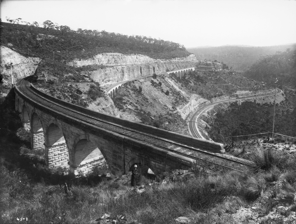
Tento zdieľaný súbor je z Wikimedia Commons a je možné ho používať na iných projektoch. Nižšie sú zobrazené informácie z popisnej stránky súboru.

Zhrnutie

Popis

a collection of historical pictures in the Public Domain from the Powerhouse Museum.

This file was posted to Flickr by The Powerhouse Museum (See the archive of their website for further information).

Many thanks to the Powerhouse Museum for helping release this wonderful material.


This tag does not indicate the copyright status of the attached work. A normal copyright tag is still required. See Commons:Licensing for more information.

Dátum cca 1900
date QS:P,+1900-00-00T00:00:00Z/9,P1480,Q5727902
Zdroj https://www.flickr.com/photos/powerhouse_museum/sets/72157604336078298/
Autor The Tyrrell Collection
Povolenie
(Využívanie tohto súboru)
Public domain

Toto dílo je volné také v zemích, jejichž právní řád chrání majetková autorská práva po dobu života autora a 70 let po jeho smrti.


You must also include a United States public domain tag to indicate why this work is in the public domain in the United States. Note that a few countries have copyright terms longer than 70 years: Mexico has 100 years, Jamaica has 95 years, Colombia has 80 years, and Guatemala and Samoa have 75 years. This image may not be in the public domain in these countries, which moreover do not implement the rule of the shorter term. Honduras has a general copyright term of 75 years, but it does implement the rule of the shorter term. Copyright may extend on works created by French who died for France in World War II (more information), Russians who served in the Eastern Front of World War II (known as the Great Patriotic War in Russia) and posthumously rehabilitated victims of Soviet repressions (more information).

Pozícia objektu33° 28′ 15,89″ J, 150° 11′ 39,34″ V Kartographer map based on OpenStreetMap.Tento a ďalšie obrázky na: OpenStreetMapinfo
Zeměpisné informace v tomto souboru byly zpětně odhadnuty.
Umístění proto může být poněkud nepřesné.
Důrazně se doporučuje ověřit a upřesnit tyto souřadnice.

Štítky

Pridajte jednoriadkové vysvetlenie, čo tento súbor predstavuje

Položky prezentované týmto súborom

motív

Lithgow Zig Zag angličtina

33°28'15.89"S, 150°11'39.34"E

História súboru

Po kliknutí na dátum/čas uvidíte ako súbor vyzeral vtedy.

Dátum/ČasNáhľadRozmeryPoužívateľKomentár
aktuálna07:34, 24. marec 2009Náhľad verzie z 07:34, 24. marec 20091 024 × 776 (552 KB)Privatemusings{{Information |Description=a collection of historical pictures in the Public Domain from the Powerhouse Museum. {{Flickr-Powerhouse-Museum-image}} |Source=http://www.flickr.com/photos/powerhouse_museum/sets/72157604336078298/ |Date=circa 1900 |Author=The

Na tento súbor odkazuje nasledujúca stránka:

Globálne využitie súborov

Nasledovné ďalšie wiki používajú tento súbor:

Metadáta