
Súbor:Map of Kentucky highlighting Kenton County.svg

Veľkosť tohoto PNG náhľadu tohoto SVG súboru: 800 × 345 pixelov. Iné rozlíšenia: 320 × 138 pixelov | 640 × 276 pixelov | 1 024 × 441 pixelov | 1 280 × 551 pixelov | 2 560 × 1 103 pixelov | 6 770 × 2 916 pixelov .
Pôvodný súbor (SVG súbor, 6 770 × 2 916 pixelov, veľkosť súboru: 127 KB)
Zhrnutie
| Popis |
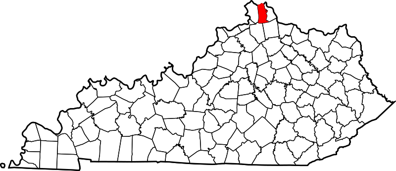
English: This is a locator map showing Kenton County in Kentucky. For more information, see Commons:United States county locator maps. |
| Dátum | |
| Zdroj |
Vlastné dielo: English: The maps use data from nationalatlas.gov, specifically countyp020.tar.gz on the Raw Data Download page. The maps also use state outline data from statesp020.tar.gz. The Florida maps use hydrogm020.tar.gz to display Lake Okeechobee. |
| Autor | David Benbennick |
Licencovanie
| Ja, držiteľ autorských práv k tomuto dielu, uvoľňujem toto dielo ako voľné dielo (public domain). Toto platí celosvetovo. V niektorých krajinách to zákon neumožňuje; v tom prípade: Udeľujem komukoľvek právo používať toto dielo na ľubovoľné účely, bez akýchkoľvek podmienok ak také podmienky nevyžaduje zákon. |
História súboru
Po kliknutí na dátum/čas uvidíte ako súbor vyzeral vtedy.
| Dátum/Čas | Náhľad | Rozmery | Používateľ | Komentár | |
|---|---|---|---|---|---|
| aktuálna | 12:22, 12. február 2006 | | 6 770 × 2 916 (127 KB) | David Benbennick | {{subst:User:Dbenbenn/clm|county=Kenton County|state=Kentucky}} |
Použitie súboru
Žiadne stránky neobsahujú odkazy na tento súbor.
Globálne využitie súborov
Nasledovné ďalšie wiki používajú tento súbor:
- Použitie na ar.wikipedia.org
- Použitie na azb.wikipedia.org
- Použitie na bg.wikipedia.org
- Použitie na bpy.wikipedia.org
- Použitie na cdo.wikipedia.org
- Použitie na ceb.wikipedia.org
- Použitie na ce.wikipedia.org
- Použitie na cy.wikipedia.org
- Použitie na de.wikipedia.org
- Použitie na en.wikipedia.org
- Kenton County, Kentucky
- Bromley, Kentucky
- Covington, Kentucky
- Crescent Springs, Kentucky
- Crestview Hills, Kentucky
- Edgewood, Kentucky
- Elsmere, Kentucky
- Erlanger, Kentucky
- Fairview, Kenton County, Kentucky
- Fort Mitchell, Kentucky
- Fort Wright, Kentucky
- Independence, Kentucky
- Kenton Vale, Kentucky
- Lakeside Park, Kentucky
Zobraziť ďalšie globálne použitie tohto súboru.