
Súbor:USA Region West location map.svg

Veľkosť tohoto PNG náhľadu tohoto SVG súboru: 535 × 599 pixelov. Iné rozlíšenia: 214 × 240 pixelov | 429 × 480 pixelov | 686 × 768 pixelov | 914 × 1 024 pixelov | 1 829 × 2 048 pixelov | 1 400 × 1 568 pixelov .
Pôvodný súbor (SVG súbor, 1 400 × 1 568 pixelov, veľkosť súboru: 151 KB)
Zhrnutie
| Popis |
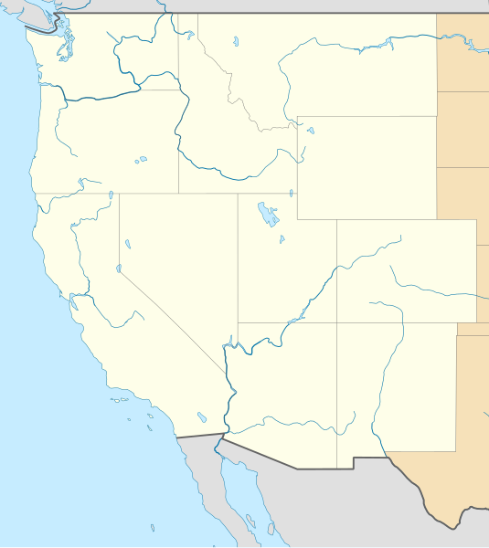
Deutsch: Positionskarte der westlichen Staaten der USA
Quadratische Plattkarte, N-S-Streckung 130.0 %. Geographische Begrenzung der Karte: Equirectangular projection, N/S stretching 130.0 %. Geographic limits of the map:
|
| Dátum | |
| Zdroj |
Vlastné dielo
|
| Autor | Alexrk2 |
| Ďalšie verzie |
|


|
Tato mapa byla vytvořena nebo vylepšena v německé Kartenwerkstatt (Mapová laboratoř). Můžete také navrhnout mapy k vylepšení.
|
Licencovanie
Ja, držiteľ autorských práv k tomuto dielu ho týmto zverejňujem za podmienok nasledovnej licencie:
Tento súbor podlieha Creative Commons Attribution 3.0 Unported licencii
- Môžete slobodne:
- zdieľať – kopírovať, šíriť a prenášať dielo
- meniť ho – upravovať dielo
- Za nasledovných podmienok:
- uvedenie autorov – Musíte spomenúť autorov (jednotlivo alebo kolektívne), poskytnúť odkaz na licenciu a uviesť, či ste niečo zmenili. Môžete to urobiť ľubovoľným primeraným spôsobom, ale nie spôsobom naznačujúcim, že poskytovateľ licencie podporuje vás alebo vaše použitie diela.
História súboru
Po kliknutí na dátum/čas uvidíte ako súbor vyzeral vtedy.
| Dátum/Čas | Náhľad | Rozmery | Používateľ | Komentár | |
|---|---|---|---|---|---|
| aktuálna | 11:59, 25. apríl 2010 | | 1 400 × 1 568 (151 KB) | Alexrk2 | == {{int:filedesc}} == {{Information |Description= {{de|Positionskarte der westlichen Staaten der USA}} Quadratische Plattkarte, N-S-Streckung 130.0 %. Geographische Begrenzung der Karte: {{en|Location map of [[:en:Western United States|Wester |
Použitie súboru
Žiadne stránky neobsahujú odkazy na tento súbor.
Globálne využitie súborov
Nasledovné ďalšie wiki používajú tento súbor:
- Použitie na ar.wikipedia.org
- Použitie na az.wikipedia.org
- Použitie na ba.wikipedia.org
- Použitie na bn.wikipedia.org
- Použitie na ceb.wikipedia.org
- Použitie na de.wikipedia.org
- Použitie na en.wikipedia.org
- Hoover Dam
- Mountain West Conference
- From the Muddy Banks of the Wishkah
- Eastern Washington University
- West Coast Conference
- West Coast Hockey League
- Talk:From the Muddy Banks of the Wishkah
- Bert Mooney Airport
- Rogue Valley International–Medford Airport
- Arcata–Eureka Airport
- Redding Regional Airport
- Elko Regional Airport
- Cheyenne Regional Airport
- Laramie Regional Airport
- Gillette–Campbell County Airport
- Central Wyoming Regional Airport
- Southwest Wyoming Regional Airport
- Sheridan County Airport
- Casper–Natrona County International Airport
- Yellowstone Regional Airport
- Southwest Oregon Regional Airport
- Lewiston–Nez Perce County Airport
- Pocatello Regional Airport
- Magic Valley Regional Airport
- Ernest A. Love Field
- Yellowstone Airport
- Bellingham International Airport
- Pullman–Moscow Regional Airport
- Canyonlands Regional Airport
- Vernal Regional Airport
- Eastern Sierra Regional Airport
- Roberts Field
- User:SounderBruce
- Disappearance of Susan Powell
- Module:Location map/data/USA West/doc
- User:Librarianpam/testpage2
- Topock Fire
Zobraziť ďalšie globálne použitie tohto súboru.