
Súbor:Wales Bridgend locator map.svg

Veľkosť tohoto PNG náhľadu tohoto SVG súboru: 502 × 600 pixelov. Iné rozlíšenia: 201 × 240 pixelov | 402 × 480 pixelov | 643 × 768 pixelov | 857 × 1 024 pixelov | 1 714 × 2 048 pixelov | 1 047 × 1 251 pixelov .
Pôvodný súbor (SVG súbor, 1 047 × 1 251 pixelov, veľkosť súboru: 146 KB)
Zhrnutie
| Popis |
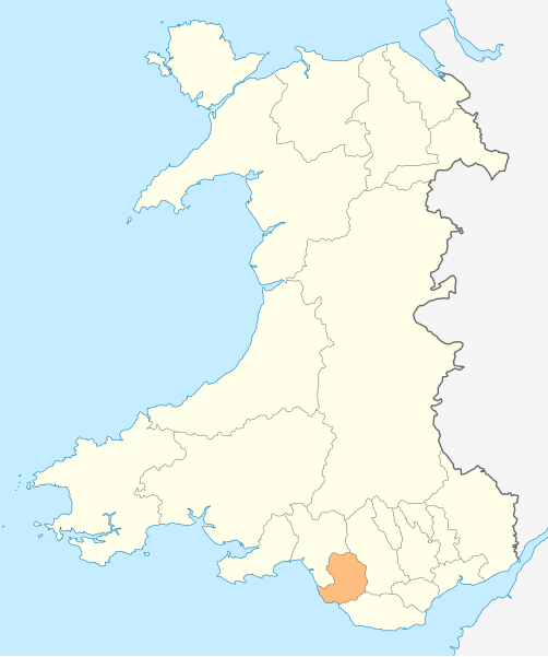
Deutsch: Lagekarte von Bridgend in Wales
English: Locator map of Bridgend in Wales |
| Dátum | |
| Zdroj | Vlastné dielo |
| Autor | NordNordWest |
| Povolenie (Využívanie tohto súboru) |
Ja, držiteľ autorských práv k tomuto dielu ho týmto zverejňujem za podmienok nasledovnej licencie: Tento súbor podlieha licencii Creative Commons Attribution-Share Alike 3.0 Unported
|

|
Tato mapa byla vytvořena nebo vylepšena v německé Kartenwerkstatt (Mapová laboratoř). Můžete také navrhnout mapy k vylepšení.
|
História súboru
Po kliknutí na dátum/čas uvidíte ako súbor vyzeral vtedy.
| Dátum/Čas | Náhľad | Rozmery | Používateľ | Komentár | |
|---|---|---|---|---|---|
| aktuálna | 18:47, 4. máj 2010 | | 1 047 × 1 251 (146 KB) | NordNordWest | {{int:filedesc}} {{Information |Description= {{de|Lagekarte von Bridgend in Wales}} {{en|Locator map of Bridgend in Wales}} |Source={{Own}} |Date=2010-05-04 |Author={{U|NordNordWest}} |Permission={{self|cc-by-sa-3.0}} |other_versions= }} {{Kartenwerkstat |
Použitie súboru
Žiadne stránky neobsahujú odkazy na tento súbor.
Globálne využitie súborov
Nasledovné ďalšie wiki používajú tento súbor:
- Použitie na en.wikipedia.org
- Ewenny Priory
- Bridgend
- Porthcawl
- Maesteg
- Bridgend County Borough
- Pencoed
- Kenfig
- Ogwr
- Ogmore Castle
- Llangynwyd
- Tondu
- Merthyr Mawr
- Brackla
- Candleston Castle
- Nottage
- List of places in Bridgend County Borough
- Heol-y-Cyw
- Pyle
- Aberkenfig
- Coity Castle
- Pontycymer
- Blaengarw
- Coychurch
- Bridgend Industrial Estate
- Template:Bridgend-geo-stub
- Newton, Porthcawl
- Cefn Glas
- Tir Iarll
- Bridgend County Borough Council
- Sarn, Bridgend
- Ogmore Vale
- Bettws, Bridgend
- Bryncethin
- Pen-y-fai, Bridgend
- Ewenny River
- Llampha
- Cornelly
- Nant-y-moel
- Cwmfelin
- North Cornelly
- Caerau, Bridgend
- Llangeinor
- Brynmenyn
- Template:Bridgend
- Kenfig Castle
- South Cornelly
- Cefn Cribwr
- Garw Valley
- Newcastle Castle, Bridgend
- Blackmill
Zobraziť ďalšie globálne použitie tohto súboru.