
Súbor:Karte A Ktn WO.svg

Veľkosť tohoto PNG náhľadu tohoto SVG súboru: 800 × 384 pixelov. Iné rozlíšenia: 320 × 154 pixelov | 640 × 307 pixelov | 1 024 × 492 pixelov | 1 280 × 614 pixelov | 2 560 × 1 229 pixelov | 1 000 × 480 pixelov .
Pôvodný súbor (SVG súbor, 1 000 × 480 pixelov, veľkosť súboru: 20 KB)
Zhrnutie
| Popis |
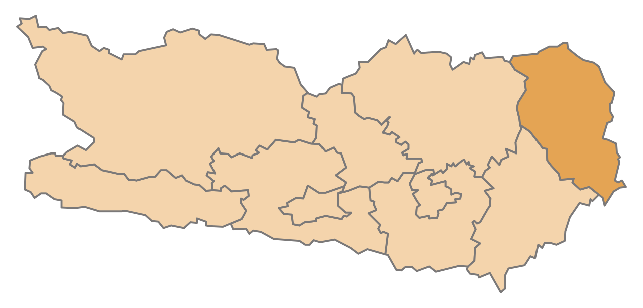
English: Map of the Austrian State Carinthia, highlighting Wolfsberg
Deutsch: Karte des österreichischen Bundeslandes Kärnten, Wolfsberg hervorgehoben |
| Dátum | |
| Zdroj | Vlastné dielo |
| Autor | AleXXw |
Licencovanie
| Ja, držiteľ autorských práv k tomuto dielu, uvoľňujem toto dielo ako voľné dielo (public domain). Toto platí celosvetovo. V niektorých krajinách to zákon neumožňuje; v tom prípade: Udeľujem komukoľvek právo používať toto dielo na ľubovoľné účely, bez akýchkoľvek podmienok ak také podmienky nevyžaduje zákon. |
História súboru
Po kliknutí na dátum/čas uvidíte ako súbor vyzeral vtedy.
| Dátum/Čas | Náhľad | Rozmery | Používateľ | Komentár | |
|---|---|---|---|---|---|
| aktuálna | 20:45, 13. máj 2009 | | 1 000 × 480 (20 KB) | AleXXw | == Beschreibung == {{Information |Description={{en|1=Map of the Austrian State Carinthia, highlighting Wolfsberg}} {{de|1=Karte des österreichischen Bundeslandes Kärnten, Wolfsberg hervorgehoben}} |Source=Eigenes Werk (own work) |Author=[[User:AleXXw|Al |
Použitie súboru
Na tento súbor odkazuje nasledujúcich 11 stránok:
Globálne využitie súborov
Nasledovné ďalšie wiki používajú tento súbor:
- Použitie na cs.wikipedia.org
- Použitie na de.wikipedia.org
- Bezirk Wolfsberg
- Sankt Paul im Lavanttal
- Sankt Andrä (Kärnten)
- Frantschach-Sankt Gertraud
- Wolfsberg (Kärnten)
- Vorlage:Navigationsleiste Städte und Gemeinden im Bezirk Wolfsberg
- Bad St. Leonhard im Lavanttal
- Preitenegg
- Sankt Georgen im Lavanttal
- Lavamünd
- Reichenfels
- Liste der politischen Bezirke von Kärnten
- Denkmalgeschützte Objekte im Bezirk Wolfsberg
- Wikipedia:WikiProjekt Österreich/checks/Navis/Kärnten
- Použitie na eo.wikipedia.org
- Použitie na et.wikipedia.org
- Použitie na hr.wikipedia.org
- Použitie na it.wikipedia.org
- Použitie na ja.wikipedia.org
- Použitie na lv.wikipedia.org
- Použitie na nn.wikipedia.org
- Použitie na sh.wikipedia.org
- Použitie na sv.wikipedia.org