
Súbor:Great Britain 1789.svg

Veľkosť tohoto PNG náhľadu tohoto SVG súboru: 450 × 456 pixelov. Iné rozlíšenia: 237 × 240 pixelov | 474 × 480 pixelov | 758 × 768 pixelov | 1 011 × 1 024 pixelov | 2 021 × 2 048 pixelov .
Pôvodný súbor (SVG súbor, 450 × 456 pixelov, veľkosť súboru: 848 KB)
Zhrnutie


.svg)
.svg)
.svg)
.svg)
.svg)


.svg)
.svg)
.svg)


.png)
.png)


.svg)


.svg)

.svg)


.svg)
.svg)
.svg)
.svg)


.svg)
.png)


.svg)


.svg)
.svg)


.svg)


.svg)


.svg)
.svg)
.svg)
.svg)
.svg)
.svg)
.svg)
_cropped.svg)
.svg)
.svg)
.svg)
.svg)
.svg)
.svg)
.svg)
.svg)
.svg)
.svg)
.svg)
.svg)
.svg)
.svg)
.svg)
.svg)
.svg)
.svg)
.svg)
.svg)
.svg)
.svg)
.svg)
.svg)
.svg)
.svg)
.svg)
.svg)
.svg)
.svg)
.svg)
.svg)
.svg)
.svg)
.svg)
.svg)
.svg)
.svg)
.svg)
.svg)
.svg)
.svg)
.svg)
.svg)
.svg)
Licencovanie
Ja, držiteľ autorských práv k tomuto dielu ho týmto zverejňujem za podmienok nasledovnej licencie:
Tento súbor podlieha licencii Creative Commons Attribution-Share Alike 3.0 Unported
- Môžete slobodne:
- zdieľať – kopírovať, šíriť a prenášať dielo
- meniť ho – upravovať dielo
- Za nasledovných podmienok:
- uvedenie autorov – Musíte spomenúť autorov (jednotlivo alebo kolektívne), poskytnúť odkaz na licenciu a uviesť, či ste niečo zmenili. Môžete to urobiť ľubovoľným primeraným spôsobom, ale nie spôsobom naznačujúcim, že poskytovateľ licencie podporuje vás alebo vaše použitie diela.
- meniť za rovnakých podmienok – Ak toto dielo zmeníte, prevediete do inej formy alebo použijete ako základ iného diela, musíte výsledok šíriť pod rovnakou alebo kompatibilnou licenciou ako originál.
Pôvodný záznam nahrávaní
This image is a derivative work of the following images:
- File:Europe_1789.svg licensed with Cc-by-sa-3.0
- 2013-04-14T03:44:26Z Alphathon 450x456 (858577 Bytes) Corrected some errors in northern Italy
- 2013-04-14T01:38:01Z Alphathon 450x456 (853881 Bytes) tweaked again
- 2013-04-14T01:36:10Z Alphathon 450x456 (853881 Bytes) Tweaked Holy Roman Empire border style
- 2013-04-14T01:33:26Z Alphathon 450x456 (853857 Bytes) == {{int:filedesc}} == {{Information |Description={{en|A blank Map of Europe circa 1789. This map also includes a border for the [[:en:Holy Roman Empire|Holy Roman Empire]]. Since there are so many small German states, they h
Uploaded with derivativeFX
História súboru
Po kliknutí na dátum/čas uvidíte ako súbor vyzeral vtedy.
| Dátum/Čas | Náhľad | Rozmery | Používateľ | Komentár | |
|---|---|---|---|---|---|
| aktuálna | 16:42, 19. december 2023 | | 450 × 456 (848 KB) | Iktsokh | Cyprus paler grey |
| 11:17, 26. máj 2022 |  | 450 × 456 (846 KB) | Cyygma | Changing pale green to light green (more visible) | |
| 08:08, 17. október 2021 |  | 450 × 456 (846 KB) | Fenn-O-maniC | Fixed the Russo-Swedish border to match the Treaty of Åbo of 1743 | |
| 16:20, 5. september 2017 |  | 450 × 456 (857 KB) | Alphathon | Danzig | |
| 15:55, 5. september 2017 |  | 450 × 456 (840 KB) | Alphathon | Added Brunswick-Lüneburg to British domains as it was rules in a personal union | |
| 15:45, 5. september 2017 |  | 450 × 456 (840 KB) | Alphathon | Made Asia paler grey | |
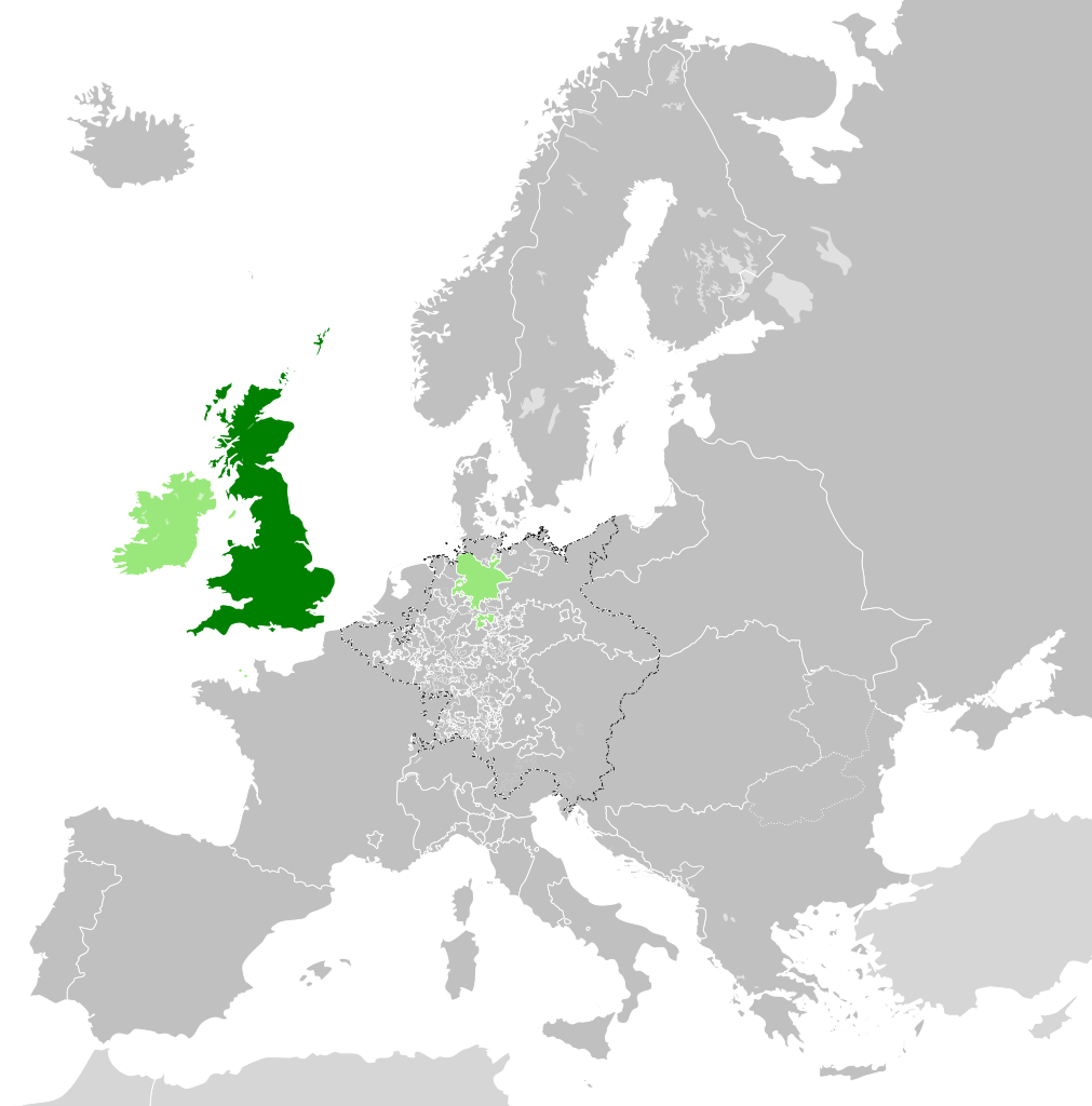
| 15:34, 5. september 2017 |  | 450 × 456 (840 KB) | Alphathon | == {{int:filedesc}} == {{Information |Description={{en|A map of the en:Kingdom of Great Britain circa 1789. Other British-held territories (Ireland, Mann, Channel Islands) are also shown in pale green.}}{{de|Eine Karte des [[:de:Königreich Groß... |
Použitie súboru
Na tento súbor odkazuje nasledujúca stránka:
Globálne využitie súborov
Nasledovné ďalšie wiki používajú tento súbor:
- Použitie na azb.wikipedia.org
- Použitie na bn.wikipedia.org
- Použitie na cs.wikipedia.org
- Použitie na da.wikipedia.org
- Použitie na de.wikipedia.org
- Použitie na el.wikipedia.org
- Použitie na en.wikipedia.org
- Použitie na es.wikipedia.org
- Použitie na eu.wikipedia.org
- Použitie na fi.wikipedia.org
- Použitie na fr.wikipedia.org
- Použitie na fy.wikipedia.org
- Použitie na gv.wikipedia.org
- Použitie na he.wikipedia.org
- Použitie na id.wikipedia.org
- Použitie na it.wikipedia.org
- Použitie na ja.wikipedia.org
- Použitie na ko.wikipedia.org
- Použitie na lo.wikipedia.org
- Použitie na lv.wikipedia.org
- Použitie na pt.wikipedia.org
- Použitie na sco.wikipedia.org
- Použitie na sl.wikipedia.org
- Použitie na sq.wikipedia.org
- Použitie na th.wikipedia.org
- Použitie na tr.wikipedia.org
- Použitie na vi.wikipedia.org
- Použitie na xmf.wikipedia.org
- Použitie na zh.wikipedia.org