
Súbor:Guinea-Bissau location map.svg

Veľkosť tohoto PNG náhľadu tohoto SVG súboru: 800 × 526 pixelov. Iné rozlíšenia: 320 × 210 pixelov | 640 × 421 pixelov | 1 024 × 673 pixelov | 1 280 × 842 pixelov | 2 560 × 1 683 pixelov | 993 × 653 pixelov .
Pôvodný súbor (SVG súbor, 993 × 653 pixelov, veľkosť súboru: 206 KB)
Zhrnutie
| Popis |
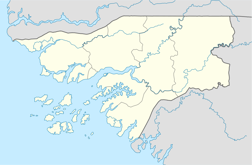
Deutsch: Positionskarte von Guinea-Bissau
Quadratische Plattkarte. Geographische Begrenzung der Karte:
English: Location map of Guinea-Bissau
Equirectangular projection. Geographic limits of the map:
|
| Dátum | |
| Zdroj |
own work, using
|
| Autor | NordNordWest |

|
Tato mapa byla vytvořena nebo vylepšena v německé Kartenwerkstatt (Mapová laboratoř). Můžete také navrhnout mapy k vylepšení.
|
Licencovanie
Ja, držiteľ autorských práv k tomuto dielu ho týmto zverejňujem za podmienok nasledovných licencií:

|
Bolo udelené povolenie kopírovať, širiť a/alebo meniť tento dokument za podmienok GNU Free Documentation License, verzie 1.2 alebo ktorejkoľvek neskoršej verzie publikovanej Free Software Foundation; bez Nemenných častí, bez Textov na prednej obálke a bez Textov na zadnej obálke. Kópia tejto licencie je zahrnutá v časti nazvanej GNU Free Documentation License. |
Tento súbor podlieha Creative Commons Attribution 3.0 Unported licencii
- Môžete slobodne:
- zdieľať – kopírovať, šíriť a prenášať dielo
- meniť ho – upravovať dielo
- Za nasledovných podmienok:
- uvedenie autorov – Musíte spomenúť autorov (jednotlivo alebo kolektívne), poskytnúť odkaz na licenciu a uviesť, či ste niečo zmenili. Môžete to urobiť ľubovoľným primeraným spôsobom, ale nie spôsobom naznačujúcim, že poskytovateľ licencie podporuje vás alebo vaše použitie diela.
Môžete si zvoliť ľubovolnú z týchto licencií.
História súboru
Po kliknutí na dátum/čas uvidíte ako súbor vyzeral vtedy.
| Dátum/Čas | Náhľad | Rozmery | Používateľ | Komentár | |
|---|---|---|---|---|---|
| aktuálna | 08:55, 20. február 2009 | | 993 × 653 (206 KB) | NordNordWest | {{Information |Description= {{de|Positionskarte von Guinea-Bissau}} Quadratische Plattkarte. Geographische Begrenzung der Karte: * N: 12.9° N * S: 10.6° N * W: 16.9° W * O: 13.4° W {{en|Location map of [[:en:Guinea-Bissau|Guinea- |
Použitie súboru
Na tento súbor odkazujú nasledujúce 2 stránky:
Globálne využitie súborov
Nasledovné ďalšie wiki používajú tento súbor:
- Použitie na af.wikipedia.org
- Použitie na am.wikipedia.org
- Použitie na ar.wikipedia.org
- Použitie na az.wikipedia.org
- Použitie na ba.wikipedia.org
- Použitie na be-tarask.wikipedia.org
- Použitie na be.wikipedia.org
- Použitie na bg.wikipedia.org
- Použitie na bn.wikipedia.org
- Použitie na bs.wikipedia.org
- Použitie na ce.wikipedia.org
- Použitie na ckb.wikipedia.org
- Použitie na cs.wikipedia.org
- Použitie na da.wikipedia.org
- Použitie na de.wikipedia.org
- Použitie na de.wikivoyage.org
- Použitie na el.wikipedia.org
- Použitie na es.wikipedia.org
- Použitie na eu.wikipedia.org
- Použitie na fa.wikipedia.org
- Použitie na fi.wikipedia.org
Zobraziť ďalšie globálne použitie tohto súboru.