
Súbor:Liechtenstein location map.svg

Veľkosť tohoto PNG náhľadu tohoto SVG súboru: 565 × 600 pixelov. Iné rozlíšenia: 226 × 240 pixelov | 452 × 480 pixelov | 723 × 768 pixelov | 965 × 1 024 pixelov | 1 929 × 2 048 pixelov | 568 × 603 pixelov .
Pôvodný súbor (SVG súbor, 568 × 603 pixelov, veľkosť súboru: 165 KB)
Zhrnutie
| Popis |
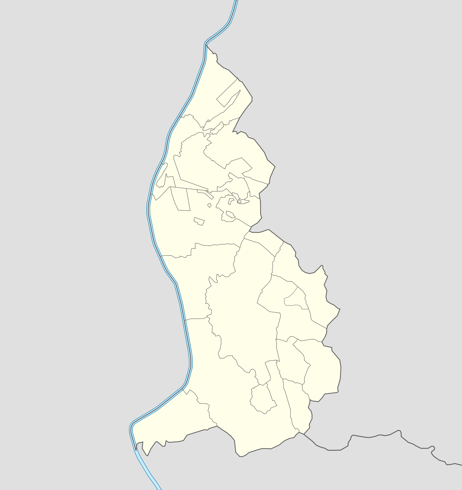
Deutsch: Positionskarte von Liechtenstein
Quadratische Plattkarte. Geographische Begrenzung der Karte:
English: Location map of Liechtenstein
Equirectangular projection. Geographic limits of the map:
|
||
| Dátum | 07-09-2008 | ||
| Zdroj | own work, using Liechtenstein-Planken.svg by William Shewring | ||
| Autor | Maximilian Dörrbecker (Chumwa) | ||
| Povolenie (Využívanie tohto súboru) |
Ja, držiteľ autorských práv k tomuto dielu ho týmto zverejňujem za podmienok nasledovných licencií:
Tento súbor podlieha licencii Creative Commons Attribution-Share Alike 3.0 Unported
Môžete si zvoliť ľubovolnú z týchto licencií. |


|
Tato mapa byla vytvořena nebo vylepšena v německé Kartenwerkstatt (Mapová laboratoř). Můžete také navrhnout mapy k vylepšení.
|
História súboru
Po kliknutí na dátum/čas uvidíte ako súbor vyzeral vtedy.
| Dátum/Čas | Náhľad | Rozmery | Používateľ | Komentár | |
|---|---|---|---|---|---|
| aktuálna | 06:15, 29. september 2013 | | 568 × 603 (165 KB) | Chumwa | corr |
| 20:35, 27. september 2013 |  | 568 × 603 (80 KB) | Chumwa | corr | |
| 16:52, 22. september 2008 |  | 568 × 604 (202 KB) | Chumwa | Flächenfarbe der "anderen Staaten" korrigiert | |
| 10:19, 7. september 2008 |  | 568 × 604 (202 KB) | Chumwa | um bereits existierendes Breite-Höhe-Verhältnis wiederherzustellen... | |
| 09:34, 7. september 2008 |  | 435 × 807 (202 KB) | Chumwa | == Beschreibung == {{Information |Description= {{de|Positionskarte von Liechtenstein}} Quadratische Plattkarte. Geographische Begrenzung der Karte: * N: 47.30° N * S: 47.03° N * W: 9.45° O * O: 9.67° O {{en|Location map of [[:de: |
Použitie súboru
Na tento súbor odkazujú nasledujúce 2 stránky:
Globálne využitie súborov
Nasledovné ďalšie wiki používajú tento súbor:
- Použitie na af.wikipedia.org
- Použitie na als.wikipedia.org
- Použitie na an.wikipedia.org
- Vaduz
- Schaan
- Triesenberg
- Planken
- Balzers
- Triesen
- Schellenberg
- Ruggell
- Mauren
- Eschen
- Gamprin
- Bendern
- Plantilla:Mapa de localización Liechtenstein
- Nendeln
- Schaanwald
- Mäls
- Mühleholz
- Hinterschellenberg
- Ebenholz
- Gaflei
- Malbun
- Steg (Liechtenstein)
- Silum
- Masescha
- Rotenboden
- Samina (Liechtenstein)
- Wangerberg
- Sücka
- Použitie na ar.wikipedia.org
- Použitie na ast.wikipedia.org
Zobraziť ďalšie globálne použitie tohto súboru.