
Súbor:West Midlands UK locator map 2010.svg

Veľkosť tohoto PNG náhľadu tohoto SVG súboru: 494 × 600 pixelov. Iné rozlíšenia: 198 × 240 pixelov | 395 × 480 pixelov | 633 × 768 pixelov | 843 × 1 024 pixelov | 1 687 × 2 048 pixelov | 1 108 × 1 345 pixelov .
Pôvodný súbor (SVG súbor, 1 108 × 1 345 pixelov, veľkosť súboru: 302 KB)
Zhrnutie
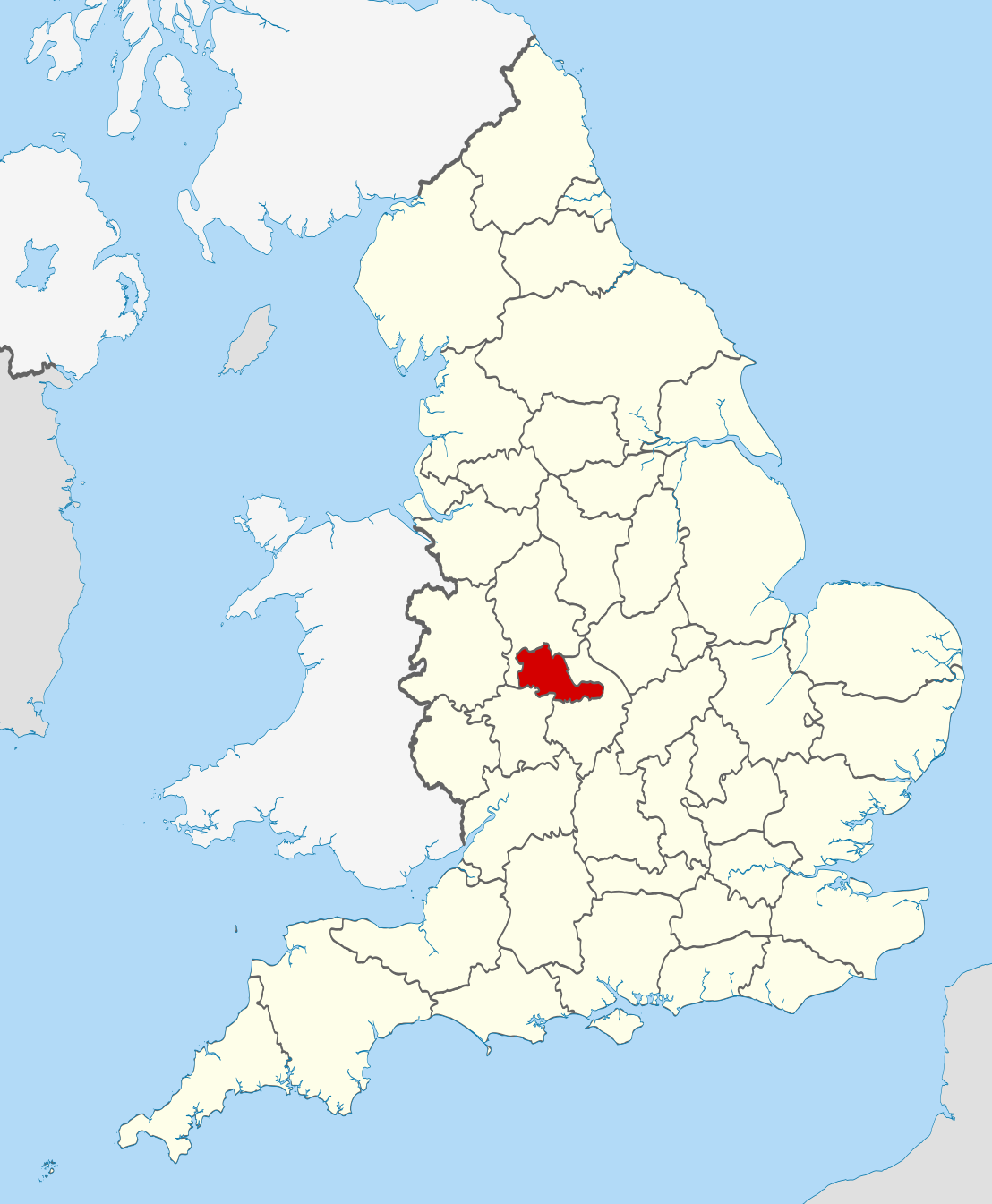
| Popis | Location of the ceremonial county of the West Midlands within England. |
| Dátum | |
| Zdroj |
National Geospatial-Intelligence Agency
|
| Autor | Nilfanion |
Licencovanie
Ja, držiteľ autorských práv k tomuto dielu ho týmto zverejňujem za podmienok nasledovných licencií:
Tento súbor podlieha licencii Creative Commons Attribution-Share Alike 3.0 Unported
- Môžete slobodne:
- zdieľať – kopírovať, šíriť a prenášať dielo
- meniť ho – upravovať dielo
- Za nasledovných podmienok:
- uvedenie autorov – Musíte spomenúť autorov (jednotlivo alebo kolektívne), poskytnúť odkaz na licenciu a uviesť, či ste niečo zmenili. Môžete to urobiť ľubovoľným primeraným spôsobom, ale nie spôsobom naznačujúcim, že poskytovateľ licencie podporuje vás alebo vaše použitie diela.
- meniť za rovnakých podmienok – Ak toto dielo zmeníte, prevediete do inej formy alebo použijete ako základ iného diela, musíte výsledok šíriť pod rovnakou alebo kompatibilnou licenciou ako originál.

|
Bolo udelené povolenie kopírovať, širiť a/alebo meniť tento dokument za podmienok GNU Free Documentation License, verzie 1.2 alebo ktorejkoľvek neskoršej verzie publikovanej Free Software Foundation; bez Nemenných častí, bez Textov na prednej obálke a bez Textov na zadnej obálke. Kópia tejto licencie je zahrnutá v časti nazvanej GNU Free Documentation License. |
Môžete si zvoliť ľubovolnú z týchto licencií.

|
This is one of the images forming part of the Valued image set: Locator maps of the Ceremonial counties of England on Wikimedia Commons. The image set has been assessed under the valued image set criteria and is considered the most valued set on Commons within the scope:
Locator maps of the Ceremonial counties of England
You can see its nomination at Commons:Valued image candidates/Locator maps of English ceremonial counties. |
História súboru
Po kliknutí na dátum/čas uvidíte ako súbor vyzeral vtedy.
| Dátum/Čas | Náhľad | Rozmery | Používateľ | Komentár | |
|---|---|---|---|---|---|
| aktuálna | 22:46, 23. november 2010 | | 1 108 × 1 345 (302 KB) | Nilfanion | == Summary == {{Information |Description=Location of the ceremonial county of the West Midlands within England. |Source=Ordnance Survey [https://www.ordnancesurvey.co.uk/opendatadownload/products.html OpenData]: * |
Použitie súboru
Na tento súbor odkazuje nasledujúca stránka:
Globálne využitie súborov
Nasledovné ďalšie wiki používajú tento súbor:
- Použitie na af.wikipedia.org
- Použitie na ang.wikipedia.org
- Použitie na ar.wikipedia.org
- Použitie na ast.wikipedia.org
- Použitie na be-tarask.wikipedia.org
- Použitie na br.wikipedia.org
- Použitie na ca.wikipedia.org
- Použitie na ceb.wikipedia.org
- Použitie na cs.wikipedia.org
- Použitie na dag.wikipedia.org
- Použitie na da.wikipedia.org
- Použitie na en.wikipedia.org
- West Midlands (county)
- West Midlands Metro
- Harborne Reserve
- Tyseley
- Transport in Birmingham
- Hodge Hill
- Sparkbrook and Small Heath
- Chamberlain Square
- West Midlands Bus route 11
- New Frankley
- Beacon Way
- Old Oscott
- Tower Hill, West Midlands
- Hill Hook
- Whitehouse Common
- Birchfield, Birmingham
- Buckland End
- Gravelly Hill
- Hawkesley
- New Oscott
- Perry Common
- Short Heath, Birmingham
- Stockland Green
- Wightwick
- Westside, Birmingham
- Transport for West Midlands
- Brandhall
- Aldridge-Brownhills Urban District
- Hockley, West Midlands
- New Hall Manor Estate
- Hawbush
- Blakenall Heath
- Merry Hill Shopping Centre
- Witton Lakes
- Brookvale Park Lake
- Olton Reservoir
Zobraziť ďalšie globálne použitie tohto súboru.