
Súbor:Location of Serbia in Europe (2006–2008).png

Veľkosť tohto náhľadu: 685 × 600 pixelov. Iné rozlíšenia: 274 × 240 pixelov | 548 × 480 pixelov | 877 × 768 pixelov | 1 170 × 1 024 pixelov | 2 056 × 1 800 pixelov .
Pôvodný súbor (2 056 × 1 800 pixelov, veľkosť súboru: 367 KB, MIME typ: image/png)
.png)
Zhrnutie
| Popis |
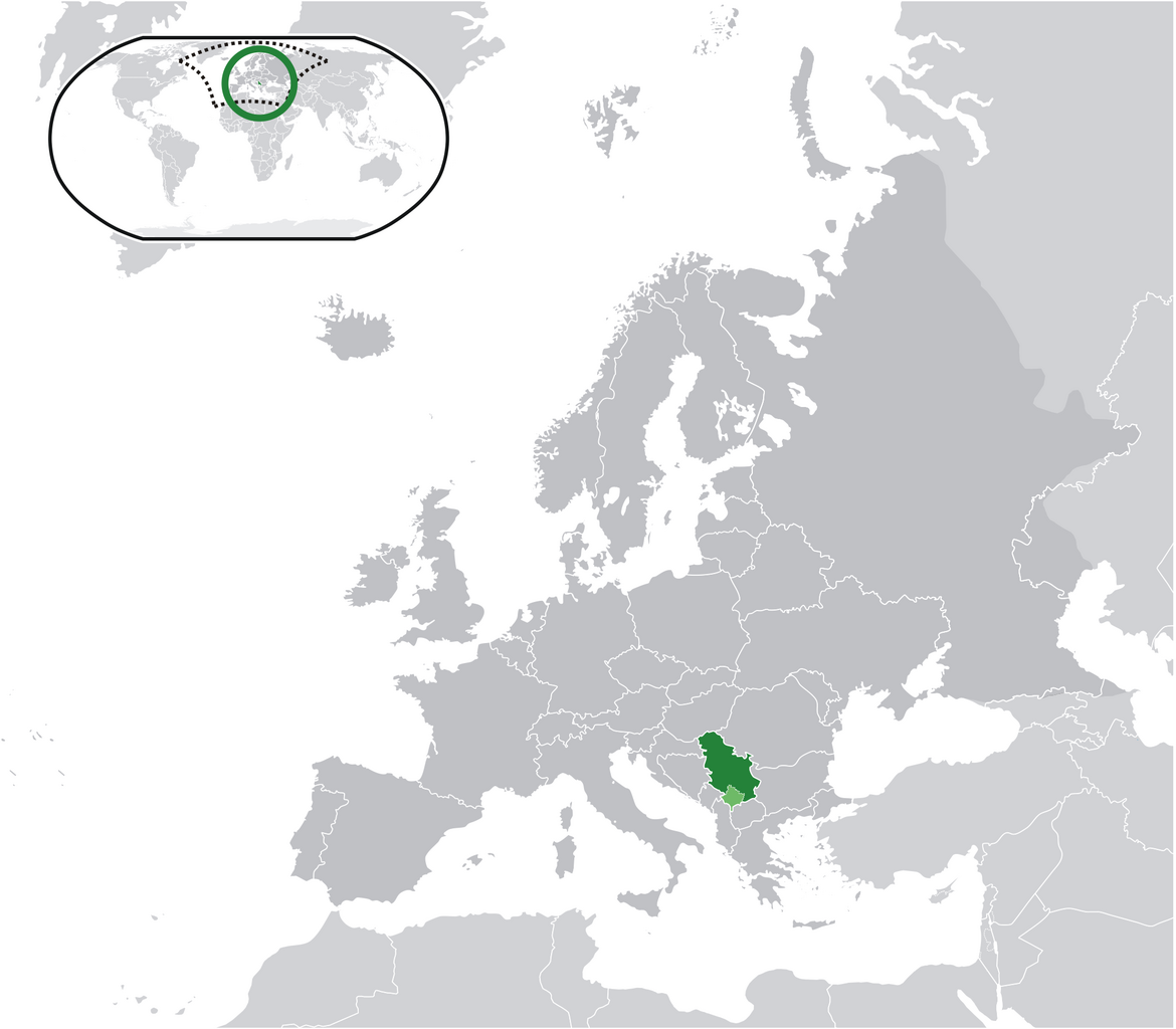
English: Location map: Serbia (dark green) / Kosovo (light green) / Europe (all green & dark grey); inspired by and consistent with general country locator maps by User:Vardion, et al |
| Dátum | |
| Zdroj | Vlastné dielo |
| Autor | Bosonic dressing |
| Povolenie (Využívanie tohto súboru) |
No |
Licencovanie
| Ja, držiteľ autorských práv k tomuto dielu, uvoľňujem toto dielo ako voľné dielo (public domain). Toto platí celosvetovo. V niektorých krajinách to zákon neumožňuje; v tom prípade: Udeľujem komukoľvek právo používať toto dielo na ľubovoľné účely, bez akýchkoľvek podmienok ak také podmienky nevyžaduje zákon. |
História súboru
Po kliknutí na dátum/čas uvidíte ako súbor vyzeral vtedy.
.png&dir=prev)
.png&offset=20090616034028)
.png&offset=&limit=20)
.png&offset=&limit=50)
.png&offset=&limit=100)
.png&offset=&limit=250)
.png&offset=&limit=500)
| Dátum/Čas | Náhľad | Rozmery | Používateľ | Komentár | |
|---|---|---|---|---|---|
| aktuálna | 08:28, 17. jún 2009 | | 2 056 × 1 800 (367 KB) | Bosonic dressing | Serbia (dark green) / Kosovo (light green) / Europe (all green & dark grey); inspired by and consistent with general country locator maps by User:Vardion, et al - updated (!) - wider scope (fix UK, Faeroes) |
| 08:26, 17. jún 2009 |  | 2 056 × 1 800 (366 KB) | Bosonic dressing | Serbia (dark green) / Kosovo (light green) / Europe (all green & dark grey); inspired by and consistent with general country locator maps by User:Vardion, et al - updated (!) - wider scope (fix UK, Faeroes) | |
| 05:59, 17. jún 2009 |  | 2 056 × 1 800 (366 KB) | Bosonic dressing | Serbia (dark green) / Kosovo (light green) / Europe (all green & dark grey); inspired by and consistent with general country locator maps by User:Vardion, et al - updated (!) - wider scope (fix UK, Faeroes) | |
| 09:45, 16. jún 2009 |  | 2 056 × 1 800 (366 KB) | Bosonic dressing | Serbia (dark green) / Kosovo (light green) / Europe (all green & dark grey); inspired by and consistent with general country locator maps by User:Vardion, et al - updated (!) - wider scope (fix UK) | |
| 09:09, 16. jún 2009 |  | 2 056 × 1 800 (367 KB) | Bosonic dressing | Serbia (dark green) / Kosovo (light green) / Europe (all green & dark grey); inspired by and consistent with general country locator maps by User:Vardion, et al - updated (!) - wider scope | |
| 08:20, 16. jún 2009 |  | 2 056 × 1 800 (368 KB) | Bosonic dressing | Serbia (dark green) / Kosovo (light green) / Europe (all green & dark grey); inspired by and consistent with general country locator maps by User:Vardion, et al - updated (!) - wider scope | |
| 06:35, 16. jún 2009 |  | 2 056 × 1 731 (365 KB) | Bosonic dressing | Serbia (dark green) / Kosovo (light green) / Europe (all green & dark grey); inspired by and consistent with general country locator maps by User:Vardion, et al - updated (!) | |
| 04:19, 16. jún 2009 |  | 2 056 × 1 731 (365 KB) | Bosonic dressing | Serbia (dark green) / Kosovo (light green) / Europe (all green & dark grey); inspired by and consistent with general country locator maps by User:Vardion, et al - updated | |
| 03:42, 16. jún 2009 |  | 2 056 × 1 731 (341 KB) | Bosonic dressing | Serbia (dark green) / Kosovo (light green) / Europe (all green & dark grey); inspired by and consistent with general country locator maps by User:Vardion, et al - updated | |
| 03:40, 16. jún 2009 |  | 2 056 × 1 727 (343 KB) | Bosonic dressing | Serbia (dark green) / Kosovo (light green) / Europe (all green & dark grey); inspired by and consistent with general country locator maps by User:Vardion, et al - updated |
Použitie súboru
Na tento súbor odkazuje nasledujúca stránka:
Globálne využitie súborov
Nasledovné ďalšie wiki používajú tento súbor:
- Použitie na ami.wikipedia.org
- Použitie na ar.wikipedia.org
- Použitie na azb.wikipedia.org
- Použitie na bh.wikipedia.org
- Použitie na bo.wikipedia.org
- Použitie na bs.wikipedia.org
- Použitie na ch.wikipedia.org
- Použitie na cs.wikiquote.org
- Použitie na da.wikipedia.org
- Použitie na de.wikipedia.org
- Použitie na dv.wikipedia.org
- Použitie na ee.wikipedia.org
- Použitie na el.wikipedia.org
- Použitie na en.wikipedia.org
- Použitie na en.wiktionary.org
- Použitie na eo.wikipedia.org
- Použitie na fa.wikipedia.org
- Použitie na ff.wikipedia.org
- Použitie na gag.wikipedia.org
- Použitie na hr.wikipedia.org
- Použitie na hr.wikiquote.org
- Použitie na ig.wikipedia.org
- Použitie na incubator.wikimedia.org
- Použitie na koi.wikipedia.org
- Použitie na krc.wikipedia.org
- Použitie na lfn.wikipedia.org
- Použitie na ltg.wikipedia.org
- Použitie na lt.wiktionary.org
- Použitie na lv.wikipedia.org
- Použitie na mi.wikipedia.org
- Použitie na mzn.wikipedia.org
- Použitie na nn.wikipedia.org
Zobraziť ďalšie globálne použitie tohto súboru.
.png)
.png)